UN/LOCODE hub · United States
USBFJ
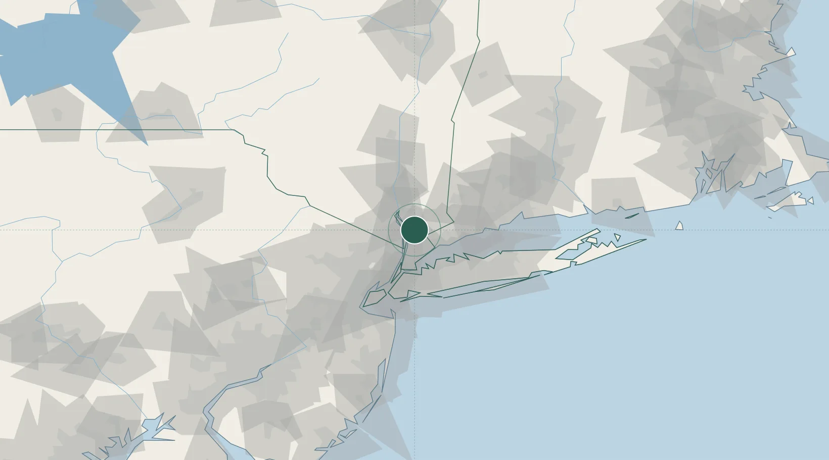
Briarcliff Manor
41.1500°, -73.8167°
8,028
Population
2
Transport functions
Transport Functions
Port
Road
Hub Profile
Place type
Populated place
Region
New York
Population
8,028
Time zone
America/New_York
Elevation
76 m
Location
Nearby Logistics Neighbours
Cities
- 1Chappaqua6 km
- 2Thornwood6 km
- 3Sleepy Hollow Manor7 km
- 4Croton-on-Hudson8 km
- 5Congers10 km
Ports
- 1Port Chester21 km
- 2Greenwich22 km
- 3Yonkers25 km
- 4Stamford26 km
- 5City Island34 km
Airports
Trade Zones
DatabookThe Record of Consolidated Knowledge
United States beyond logistics?