Transport Functions
Road
Multimodal
Hub Profile
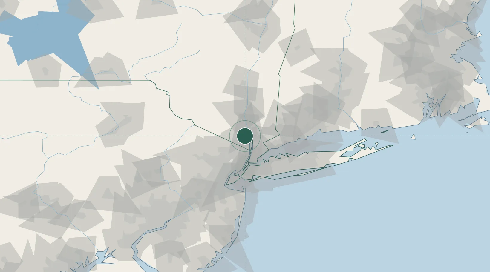
Place type
Populated place
Region
New York
Time zone
America/New_York
Elevation
64 m
Location
Nearby Logistics Neighbours
Cities
- 1Stony Point2 km
- 2Stony Point, Rockland4 km
- 3Tomkins Cove6 km
- 4Buchanan7 km
- 5Congers7 km
Ports
- 1Yonkers31 km
- 2Newburgh33 km
- 3Port Chester35 km
- 4Greenwich37 km
- 5Stamford41 km
Airports
Trade Zones
DatabookThe Record of Consolidated Knowledge
United States beyond logistics?