UN/LOCODE hub · United States
USS8T
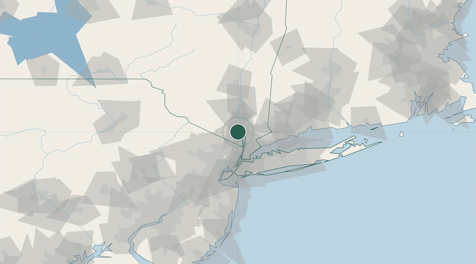
Stony Point
41.2167°, -73.9833°
12,147
Population
1
Transport functions
Transport Functions
Port
Hub Profile
Place type
Populated place
Region
New York
Population
12,147
Time zone
America/New_York
Elevation
36 m
Location
Nearby Logistics Neighbours
Cities
- 1Stony Point, Rockland2 km
- 2Garnerville2 km
- 3Tomkins Cove4 km
- 4Buchanan6 km
- 5Congers9 km
Ports
- 1Newburgh32 km
- 2Yonkers32 km
- 3Port Chester36 km
- 4Greenwich38 km
- 5Stamford42 km
Airports
Trade Zones
DatabookThe Record of Consolidated Knowledge
United States beyond logistics?