Channel & Berth Profile
Pilotage, Tugs & Services
Pilotage compulsoryYES
Tug assistanceNO
Salvage tugsNO
Potable waterYES
Diesel bunkersYES
MedicalYES
Facilities & Capabilities
Container—
Ro-Ro—
Liquid bulk—
Dry bulk—
Oil terminal—
Break bulk—
Dry dock—
RepairsNO
BunkeringYES
Rail linkYES
Dangerous cargo—
ISPS security—
Harbour Specifications
Harbour size
Very Small
Harbour type
River (Natural)
Shelter
Excellent
Water body
North Atlantic Ocean
Tidal range
2.1 m
Overhead limit
No
Pilotage
Yes
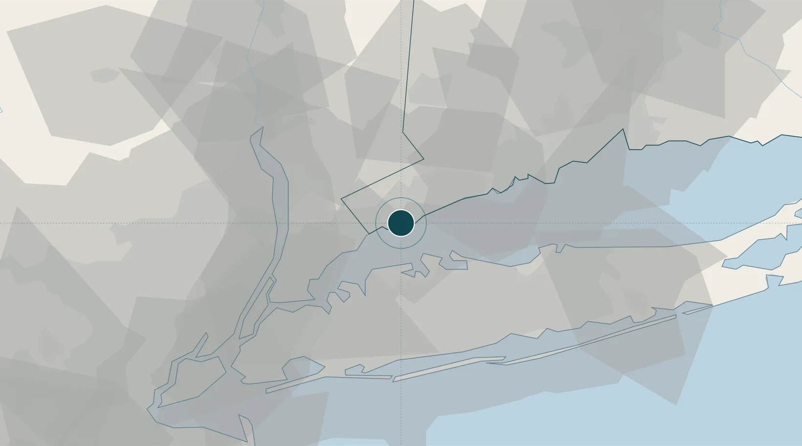
Location
Nearby Logistics Neighbours
Ports
- 1Greenwich6 km
- 2Port Chester11 km
- 3Norwalk13 km
- 4Southport25 km
- 5City Island28 km
Cities
- 1Purchase13 km
- 2Rye13 km
- 3Harrison15 km
- 4West Harrison17 km
- 5Locust Valley17 km
Airports
- 1Westchester County Airport14 km
- 2Republic Airport36 km
- 3Danbury Municipal Airport38 km
- 4Igor I Sikorsky Memorial Airport38 km
- 5LaGuardia Airport39 km
Trade Zones
DatabookThe Record of Consolidated Knowledge
United States beyond logistics?