Transport Functions
Port
Rail
Road
Multimodal
Hub Profile
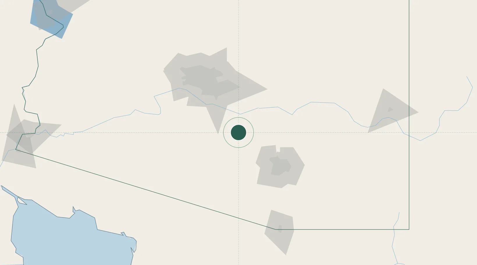
Place type
Populated place
Region
Arizona
Population
17,059
Time zone
America/Phoenix
Elevation
474 m
Location
Nearby Logistics Neighbours
Ports
- 1Ensenada488 km
- 2Rosarito522 km
- 3San Diego527 km
- 4Guaymas541 km
- 5Newport Beach599 km
Airports
Trade Zones
- 1FTZ No. 174 Pima County77 km
- 2FTZ No. 221 Mesa79 km
- 3FTZ No. 075 Phoenix92 km
- 4FTZ No. 277 Western Maricopa County109 km
- 5FTZ No. 060 Nogales167 km
DatabookThe Record of Consolidated Knowledge
United States beyond logistics?