UN/LOCODE hub · United States
USSK4
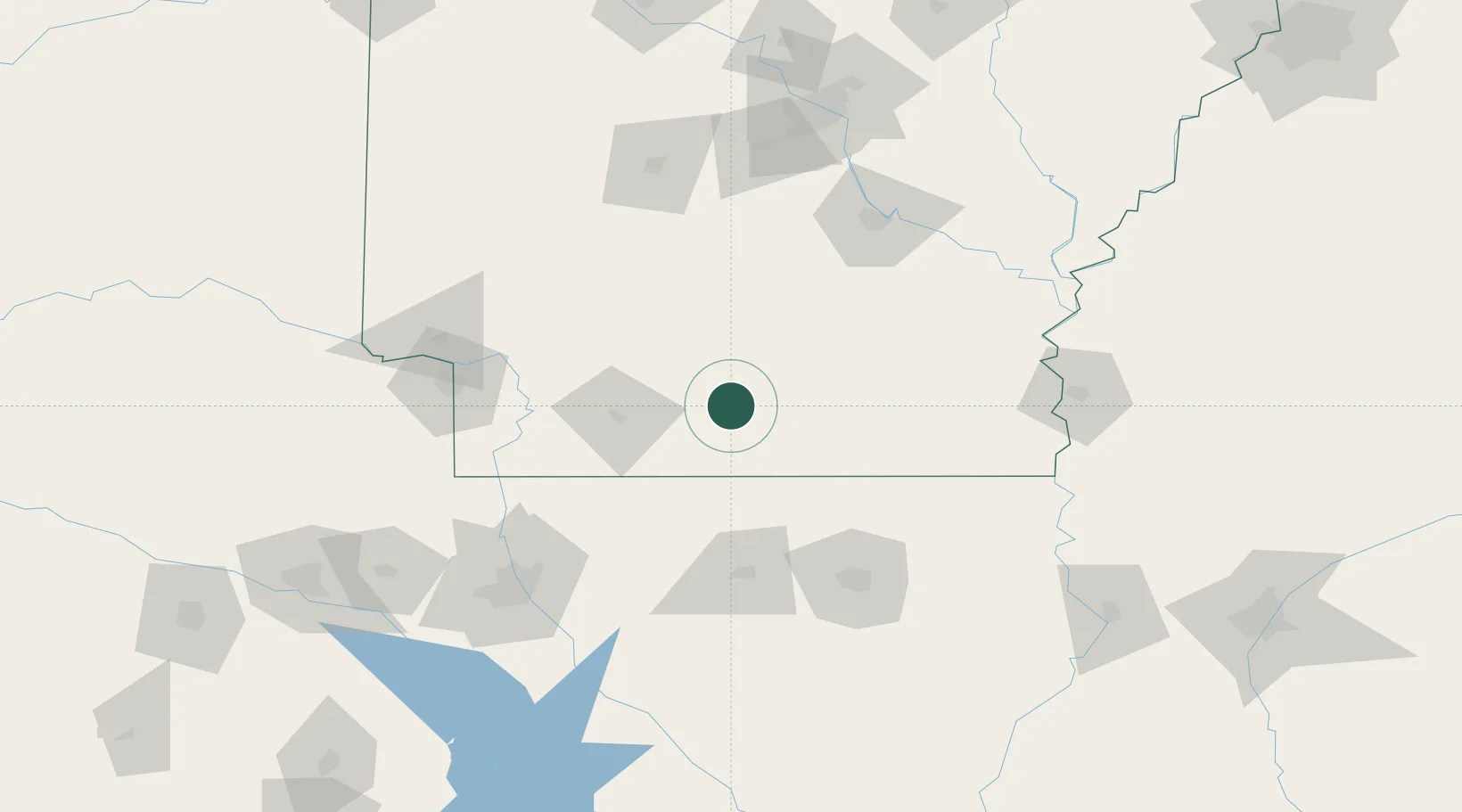
Smackover
33.3500°, -92.7167°
1,782
Population
1
Transport functions
Transport Functions
Port
Hub Profile
Place type
Populated place
Region
Arkansas
Population
1,782
Time zone
America/Chicago
Elevation
37 m
Location
Nearby Logistics Neighbours
Ports
- 1Port Of Memphis302 km
- 2Lake Charles352 km
- 3Baton Rouge353 km
- 4Orange376 km
- 5Beaumont386 km
Airports
Trade Zones
- 1FTZ No. 145 Shreveport152 km
- 2FTZ No. 146 Lawrence County152 km
- 3FTZ No. 014 Little Rock159 km
- 4FTZ No. 258 Bowie County182 km
- 5FTZ No. 158 Vicksburg Jackson214 km
DatabookThe Record of Consolidated Knowledge
United States beyond logistics?