Transport Functions
Road
Multimodal
Hub Profile
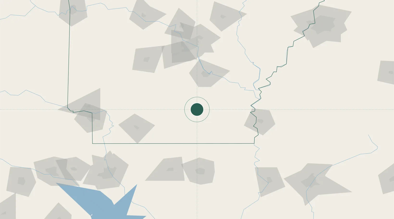
Place type
Populated place
Region
Kentucky
Time zone
America/New_York
Elevation
389 m
Location
Nearby Logistics Neighbours
Ports
- 1Port Of Memphis246 km
- 2Baton Rouge365 km
- 3Lake Charles391 km
- 4Madisonville406 km
- 5Orange419 km
Airports
Trade Zones
- 1FTZ No. 014 Little Rock122 km
- 2FTZ No. 287 Tunica County181 km
- 3FTZ No. 158 Vicksburg Jackson194 km
- 4FTZ No. 145 Shreveport209 km
- 5FTZ No. 146 Lawrence County209 km
DatabookThe Record of Consolidated Knowledge
United States beyond logistics?