UN/LOCODE hub · United States
USGTG
Grovetown
33.4693°, -82.1875°
13,093
Population
1
Transport functions
Transport Functions
Port
Hub Profile
Place type
Populated place
Region
Georgia
Population
13,093
Time zone
America/New_York
Elevation
146 m
Logistics facilities
1
Location
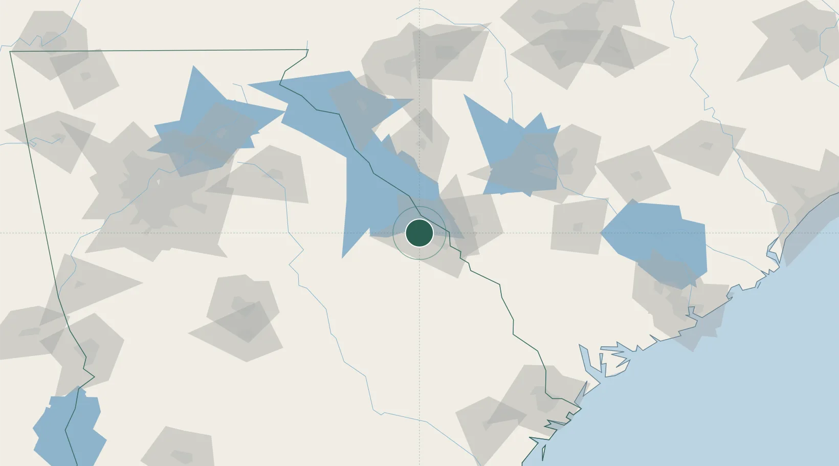
Nearby Logistics Neighbours
Cities
- 1Fort Gordon7 km
- 2Martinez12 km
- 3North Augusta19 km
- 4Dearing19 km
- 5Stapleton40 km
Ports
- 1Beaufort183 km
- 2Savannah186 km
- 3Port Royal186 km
- 4Charleston225 km
- 5Darien244 km
Airports
- 1Daniel Field14 km
- 2Augusta Regional At Bush Field24 km
- 3Columbia Metropolitan Airport111 km
- 4Athens Ben Epps Airport118 km
- 5Orangeburg Municipal Airport123 km
Trade Zones
- 1FTZ No. 127 West Columbia114 km
- 2FTZ No. 021 Dorchester County144 km
- 3FTZ No. 038 Spartanburg County158 km
- 4FTZ No. 104 Savannah184 km
- 5FTZ No. 026 Atlanta207 km
DatabookThe Record of Consolidated Knowledge
United States beyond logistics?