UN/LOCODE hub · United States
USSXX
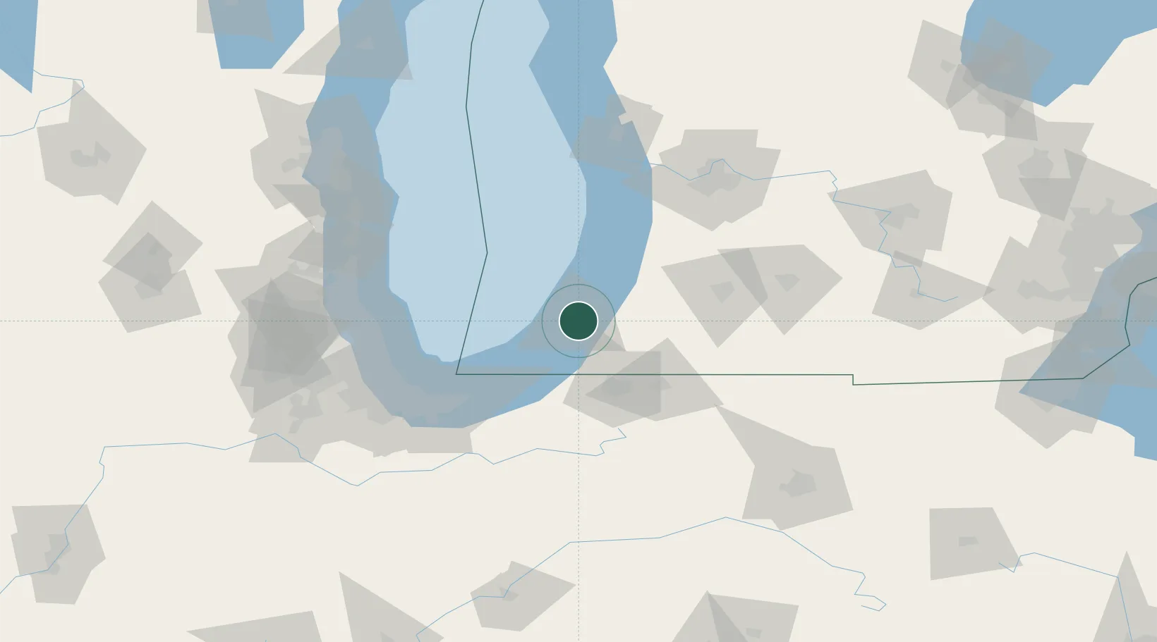
Saint Joseph
42.0833°, -86.4667°
8,365
Population
2
Transport functions
Transport Functions
Rail
Road
Hub Profile
Place type
Provincial seat
Region
Michigan
Population
8,365
Time zone
America/Detroit
Elevation
193 m
Location
Nearby Logistics Neighbours
Cities
- 1Berrien Springs20 km
- 2Galien32 km
- 3Three Oaks35 km
- 4Sawyer41 km
- 5Cassopolis44 km
Ports
- 1South Haven38 km
- 2Michigan City53 km
- 3Holland83 km
- 4Gary89 km
- 5Indiana Harbor93 km
Airports
Trade Zones
- 1FTZ No. 125 South Bend47 km
- 2FTZ No. 152 Burns Harbor77 km
- 3FTZ No. 043 Battle Creek102 km
- 4FTZ No. 022 Chicago120 km
- 5FTZ No. 292 Lake County120 km
DatabookThe Record of Consolidated Knowledge
United States beyond logistics?