UN/LOCODE hub · United States
USB2R
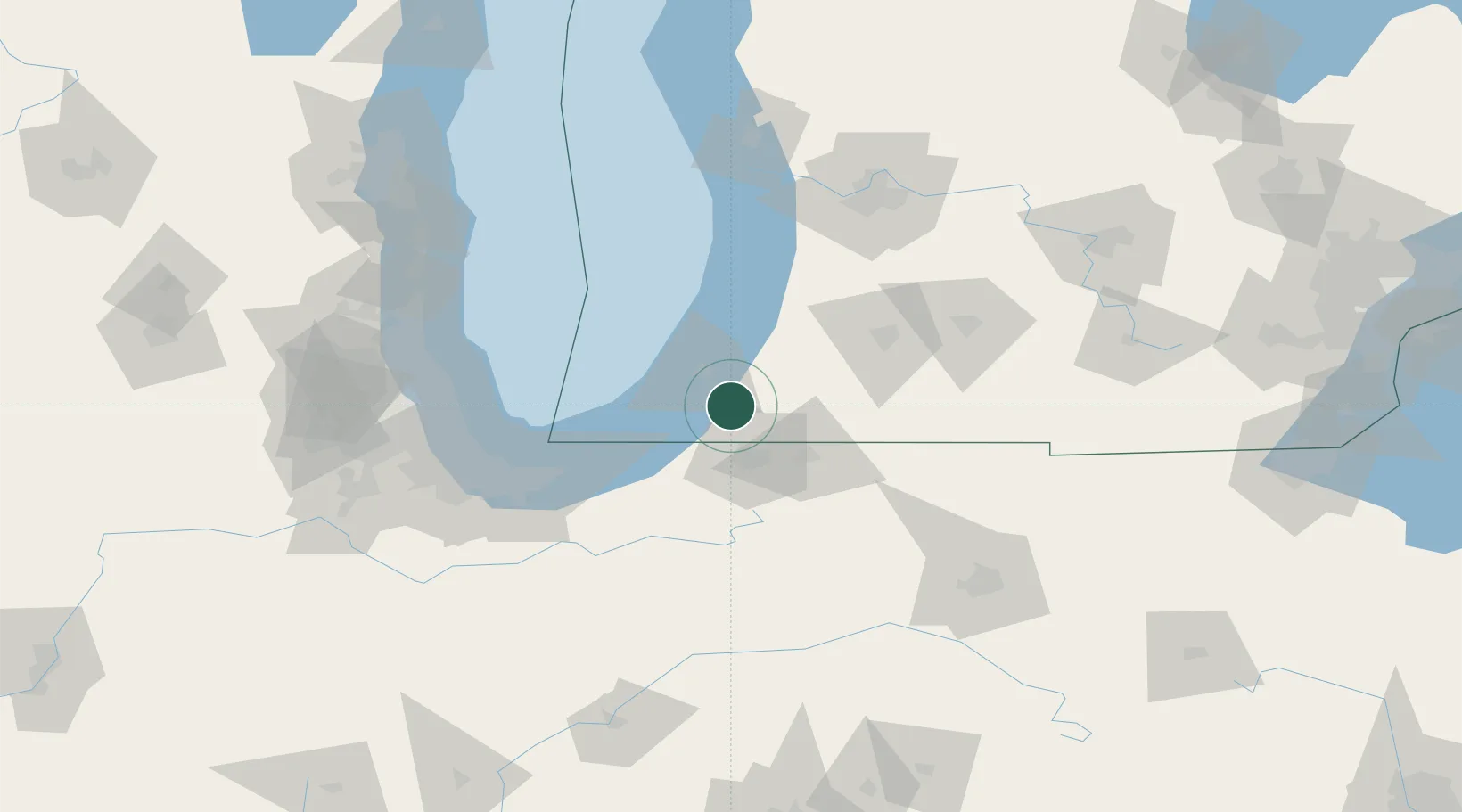
Berrien Springs
41.9333°, -86.3333°
1,764
Population
1
Transport functions
Transport Functions
Multimodal
Hub Profile
Place type
Populated place
Region
Michigan
Population
1,764
Time zone
America/Detroit
Elevation
205 m
Location
Nearby Logistics Neighbours
Cities
- 1Saint Joseph20 km
- 2Galien20 km
- 3Granger27 km
- 4Three Oaks28 km
- 5Cassopolis28 km
Ports
- 1St Joseph24 km
- 2Michigan City52 km
- 3South Haven52 km
- 4Gary90 km
- 5Indiana Harbor96 km
Airports
Trade Zones
- 1FTZ No. 125 South Bend29 km
- 2FTZ No. 152 Burns Harbor77 km
- 3FTZ No. 043 Battle Creek98 km
- 4FTZ No. 022 Chicago128 km
- 5FTZ No. 182 Fort Wayne128 km
DatabookThe Record of Consolidated Knowledge
United States beyond logistics?