Transport Functions
Rail
Road
Multimodal
Hub Profile
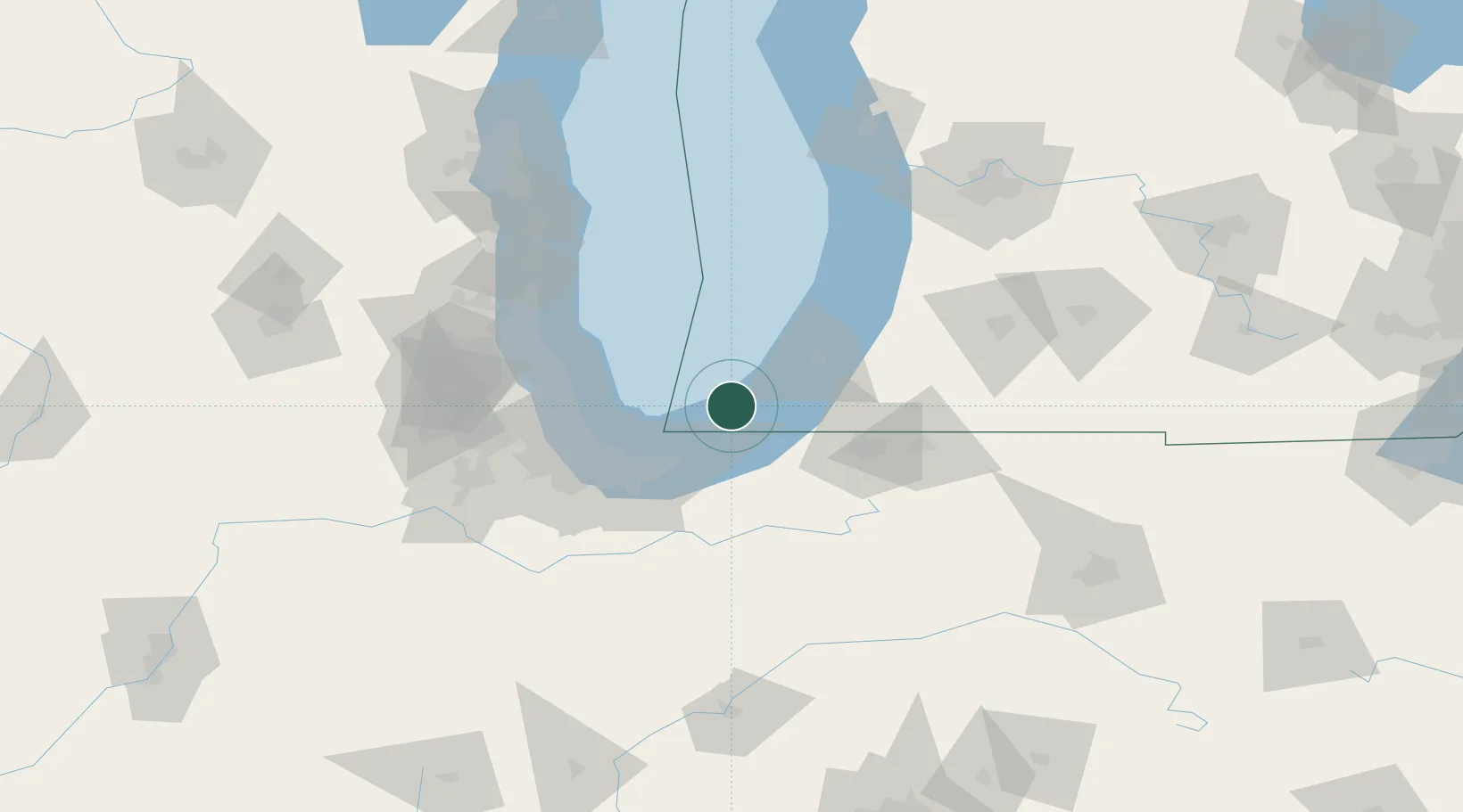
Place type
Populated place
Region
Michigan
Time zone
America/Detroit
Elevation
201 m
Location
Nearby Logistics Neighbours
Cities
- 1Three Oaks26 km
- 2Rolling Prairie33 km
- 3Galien33 km
- 4Chesterton35 km
- 5Burns Harbor36 km
Ports
- 1Michigan City17 km
- 2St Joseph42 km
- 3Gary48 km
- 4Indiana Harbor52 km
- 5Calumet Harbor55 km
Airports
Trade Zones
- 1FTZ No. 152 Burns Harbor37 km
- 2FTZ No. 125 South Bend50 km
- 3FTZ No. 022 Chicago82 km
- 4FTZ No. 292 Lake County96 km
- 5FTZ No. 043 Battle Creek142 km
DatabookThe Record of Consolidated Knowledge
United States beyond logistics?