UN/LOCODE hub · United States
USCZI
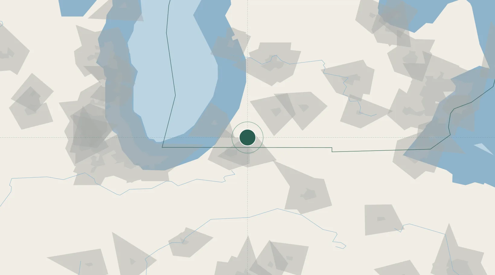
Cassopolis
41.9000°, -86.0000°
1,729
Population
4
Transport functions
Transport Functions
Port
Rail
Road
Multimodal
Hub Profile
Place type
Provincial seat
Region
Michigan
Population
1,729
Time zone
America/Detroit
Elevation
271 m
Location
Nearby Logistics Neighbours
Cities
- 1Granger19 km
- 2Mottville24 km
- 3Constantine27 km
- 4Berrien Springs28 km
- 5Lawton33 km
Ports
- 1St Joseph47 km
- 2South Haven60 km
- 3Michigan City77 km
- 4Holland99 km
- 5Gary115 km
Airports
Trade Zones
DatabookThe Record of Consolidated Knowledge
United States beyond logistics?