UN/LOCODE hub · United States
USDA8

Dauphin

40.3667°, -76.9167°
791
Population
1
Transport functions

Transport Functions

Port
UN/LOCODE

Hub Profile

Place type
Populated place
GeoNames
Region
Pennsylvania
GeoNames
Population
791
GeoNames
Time zone
America/New_York
GeoNames
Elevation
111 m
GeoNames

Location

Location of USDA8
Natural Earth 10m (public domain) · Pennsylvania · USDA8 · 40.37, -76.92GoogleOSMYandex

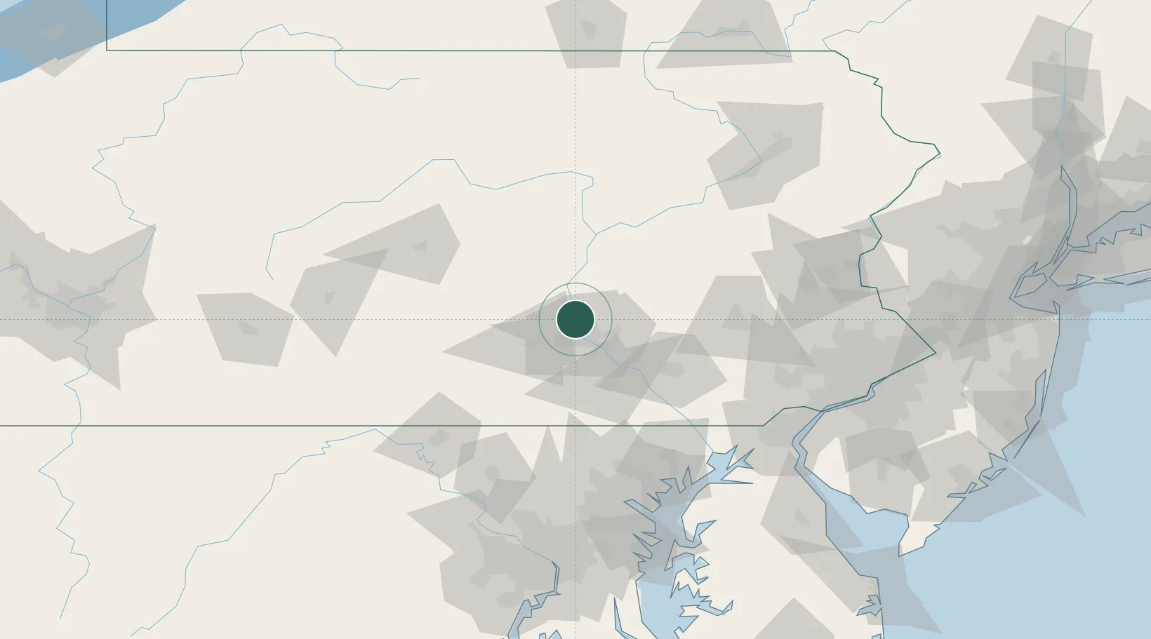
Nearby Logistics Neighbours

Cities
  1. 1Halifax11 km
  2. 2Steelton16 km
  3. 3Swatara19 km
  4. 4Millersburg19 km
  5. 5Newport, Perry20 km
Nearest neighbours — logibook spatial index (haversine) over the source coordinates
Ports
  1. 1Havre De Grace117 km
  2. 2Baltimore126 km
  3. 3Wilmington136 km
  4. 4New Castle140 km
  5. 5Deepwater Point140 km
Nearest neighbours — logibook spatial index (haversine) over the source coordinates
Airports
  1. 1Harrisburg International Airport23 km
  2. 2Muir Army Air Field (Fort Indiantown Gap) Airport30 km
  3. 3Lancaster Airport59 km
  4. 4Reading Regional Airport (Carl A Spaatz Field)81 km
  5. 5State College Regional Airport95 km
Nearest neighbours — logibook spatial index (haversine) over the source coordinates
Trade Zones
  1. 1FTZ No. 147 Berks County55 km
  2. 2FTZ No. 272 Counties of Lehigh and Northampton105 km
  3. 3FTZ No. 074 Baltimore125 km
  4. 4FTZ No. 073 BWI Airport134 km
  5. 5FTZ No. 099 Wilmington136 km
Nearest neighbours — logibook spatial index (haversine) over the source coordinates
DatabookThe Record of Consolidated Knowledge
United States beyond logistics?
Browse databook

All Sources

LocationsUN/LOCODE
UN/LOCODE — free
LocationsGeoNames
CC BY 4.0
Portsthe NGA World Port Index
Public domain (US gov)
AirportsOurAirports
Public domain
Trade Zonesthe World Bank SEZ database
CC BY 4.0
Trade ZonesOpen Zone Map
CC BY
← United States locations