UN/LOCODE hub · United States
USAAS
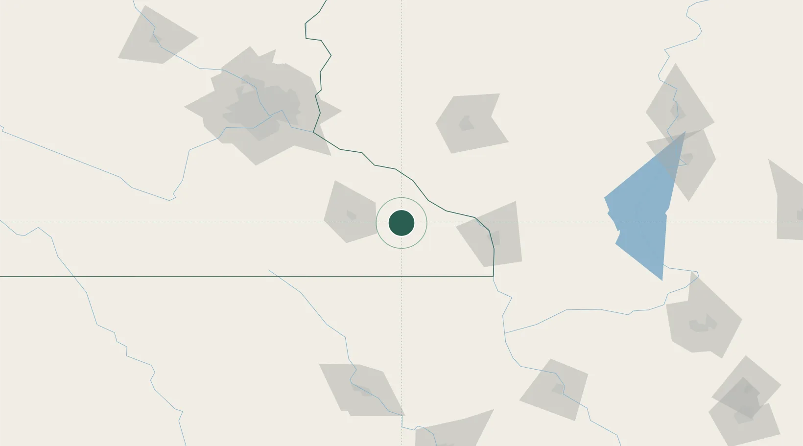
Saint Charles
43.9667°, -92.0500°
3,735
Population
3
Transport functions
Transport Functions
Rail
Road
Multimodal
Hub Profile
Place type
Populated place
Region
Minnesota
Population
3,735
Time zone
America/Chicago
Elevation
344 m
Location
Nearby Logistics Neighbours
DatabookThe Record of Consolidated Knowledge
United States beyond logistics?