Transport Functions
Road
Multimodal
Hub Profile
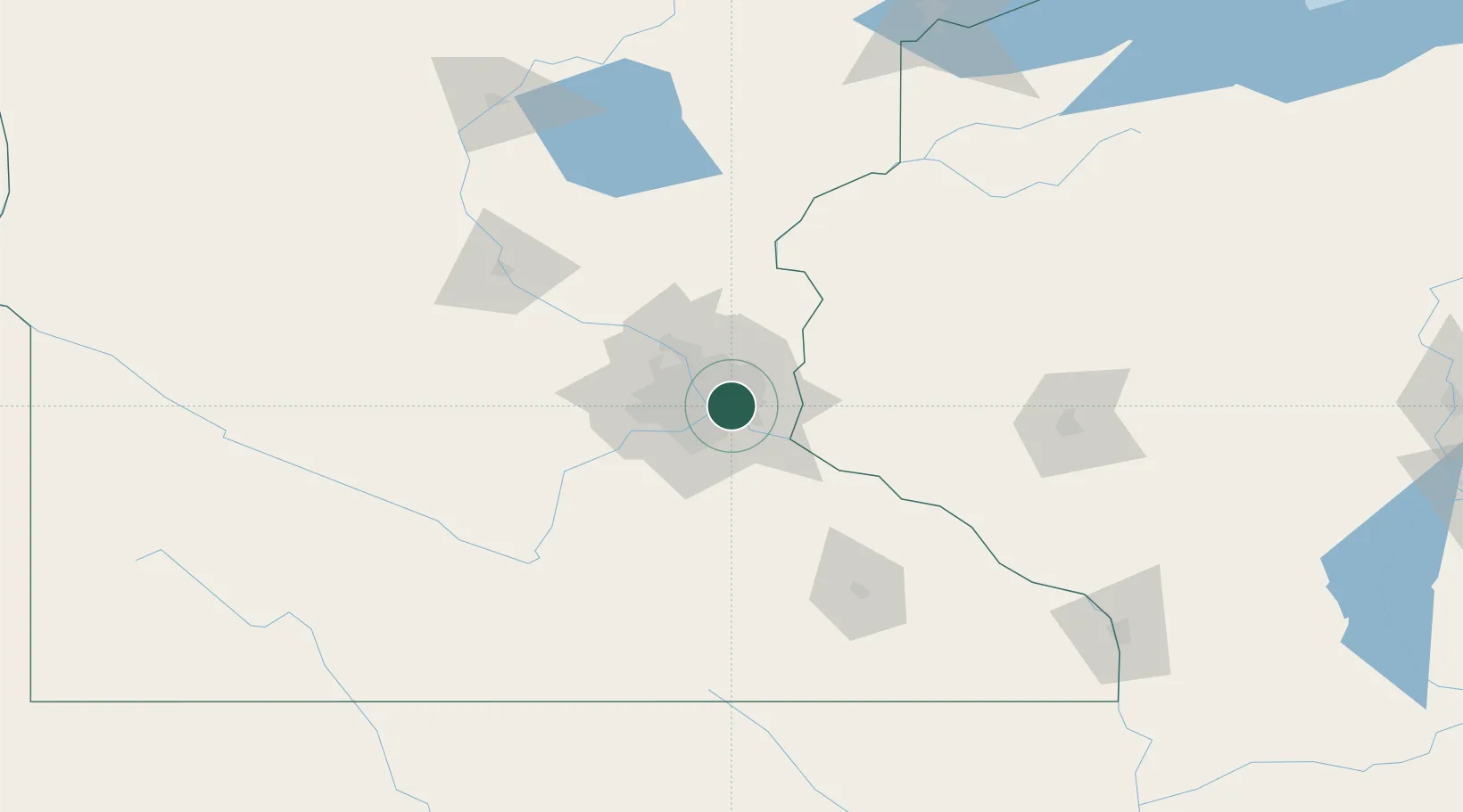
Place type
Populated place
Region
Minnesota
Population
1,444
Time zone
America/Chicago
Elevation
319 m
Location
Nearby Logistics Neighbours
Cities
- 1West Saint Paul0 km
- 2Mendota Heights5 km
- 3South Saint Paul5 km
- 4Fort Snelling6 km
- 5Saint Paul11 km
Ports
- 1Superior217 km
- 2Duluth220 km
- 3Ashland255 km
- 4Two Harbors259 km
- 5Washburn260 km
Airports
Trade Zones
- 1FTZ No. 119 Minneapolis-St. Paul12 km
- 2FTZ No. 051 Duluth216 km
- 3FTZ No. 288 Northwest Iowa308 km
- 4FTZ No. 220 Sioux Falls331 km
- 5FTZ No. 266 Dane County341 km
DatabookThe Record of Consolidated Knowledge
United States beyond logistics?