UN/LOCODE hub · United States
USMDG
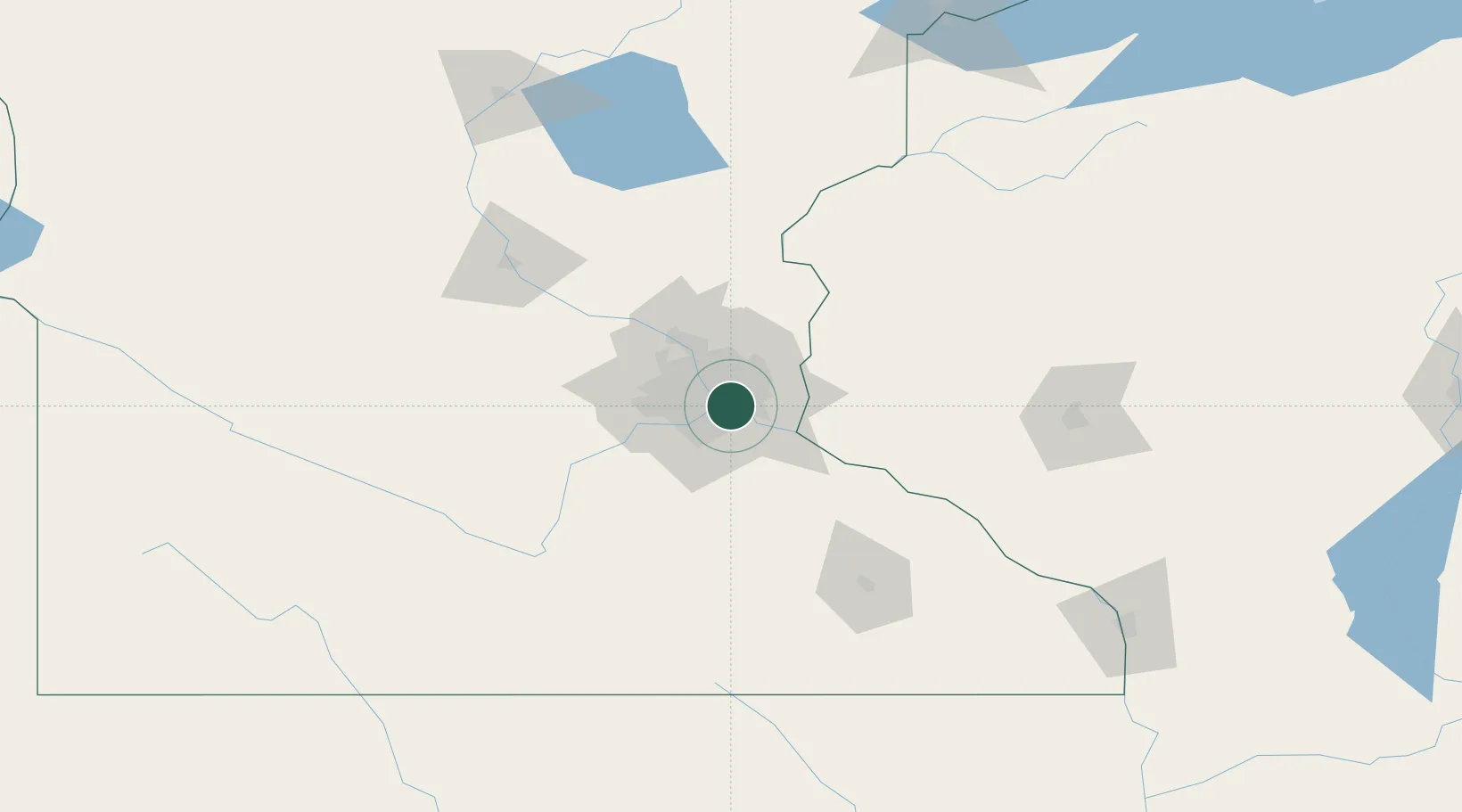
Mendota Heights
44.8833°, -93.1333°
11,223
Population
2
Transport functions
Transport Functions
Rail
Road
Hub Profile
Place type
Populated place
Region
Minnesota
Population
11,223
Time zone
America/Chicago
Elevation
278 m
Location
Nearby Logistics Neighbours
Cities
- 1Fort Snelling3 km
- 2Dawson5 km
- 3West Saint Paul5 km
- 4South Saint Paul7 km
- 5Saint Paul10 km
Ports
- 1Superior222 km
- 2Duluth224 km
- 3Ashland260 km
- 4Two Harbors264 km
- 5Washburn264 km
Airports
Trade Zones
- 1FTZ No. 119 Minneapolis-St. Paul13 km
- 2FTZ No. 051 Duluth220 km
- 3FTZ No. 288 Northwest Iowa303 km
- 4FTZ No. 220 Sioux Falls327 km
- 5FTZ No. 266 Dane County341 km
DatabookThe Record of Consolidated Knowledge
United States beyond logistics?