Transport Functions
Rail
Road
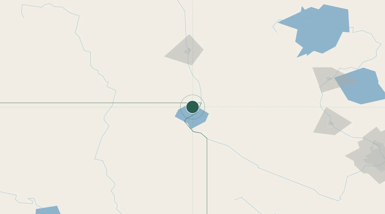
Hub Profile
Place type
Populated place
Region
South Dakota
Population
427
Time zone
America/Chicago
Elevation
330 m
Location
Nearby Logistics Neighbours
Cities
- 1Sisseton34 km
- 2Clinton50 km
- 3Brushvale56 km
- 4Big Stone City68 km
- 5Odessa75 km
Ports
- 1Duluth368 km
- 2Superior370 km
- 3Two Harbors409 km
- 4Washburn457 km
- 5Ashland457 km
Airports
- 1Chandler Field102 km
- 2Watertown Regional Airport111 km
- 3Hector International Airport117 km
- 4Aberdeen Regional Airport140 km
- 5Jamestown Regional Airport191 km
Trade Zones
- 1FTZ No. 267 Fargo112 km
- 2FTZ No. 103 Grand Forks230 km
- 3FTZ No. 220 Sioux Falls258 km
- 4FTZ No. 119 Minneapolis-St. Paul289 km
- 5FTZ No. 288 Northwest Iowa305 km
DatabookThe Record of Consolidated Knowledge
United States beyond logistics?