UN/LOCODE hub · United States
USGQJ
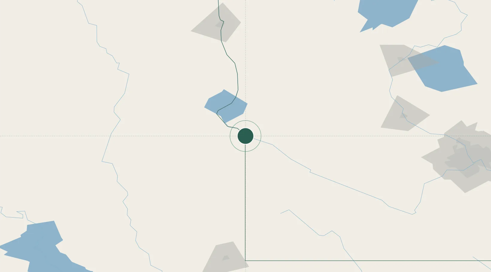
Big Stone City
45.2833°, -96.4500°
455
Population
2
Transport functions
Transport Functions
Port
Road
Hub Profile
Place type
Populated place
Region
South Dakota
Population
455
Time zone
America/Chicago
Elevation
318 m
Location
Nearby Logistics Neighbours
Ports
- 1Duluth374 km
- 2Superior375 km
- 3Two Harbors417 km
- 4Ashland456 km
- 5Washburn457 km
Airports
- 1Watertown Regional Airport69 km
- 2Chandler Field105 km
- 3Redwood Falls Municipal Airport135 km
- 4Aberdeen Regional Airport155 km
- 5Hutchinson Health Heliport169 km
Trade Zones
- 1FTZ No. 267 Fargo179 km
- 2FTZ No. 220 Sioux Falls195 km
- 3FTZ No. 288 Northwest Iowa238 km
- 4FTZ No. 119 Minneapolis-St. Paul255 km
- 5FTZ No. 103 Grand Forks298 km
DatabookThe Record of Consolidated Knowledge
United States beyond logistics?