Transport Functions
Rail
Road
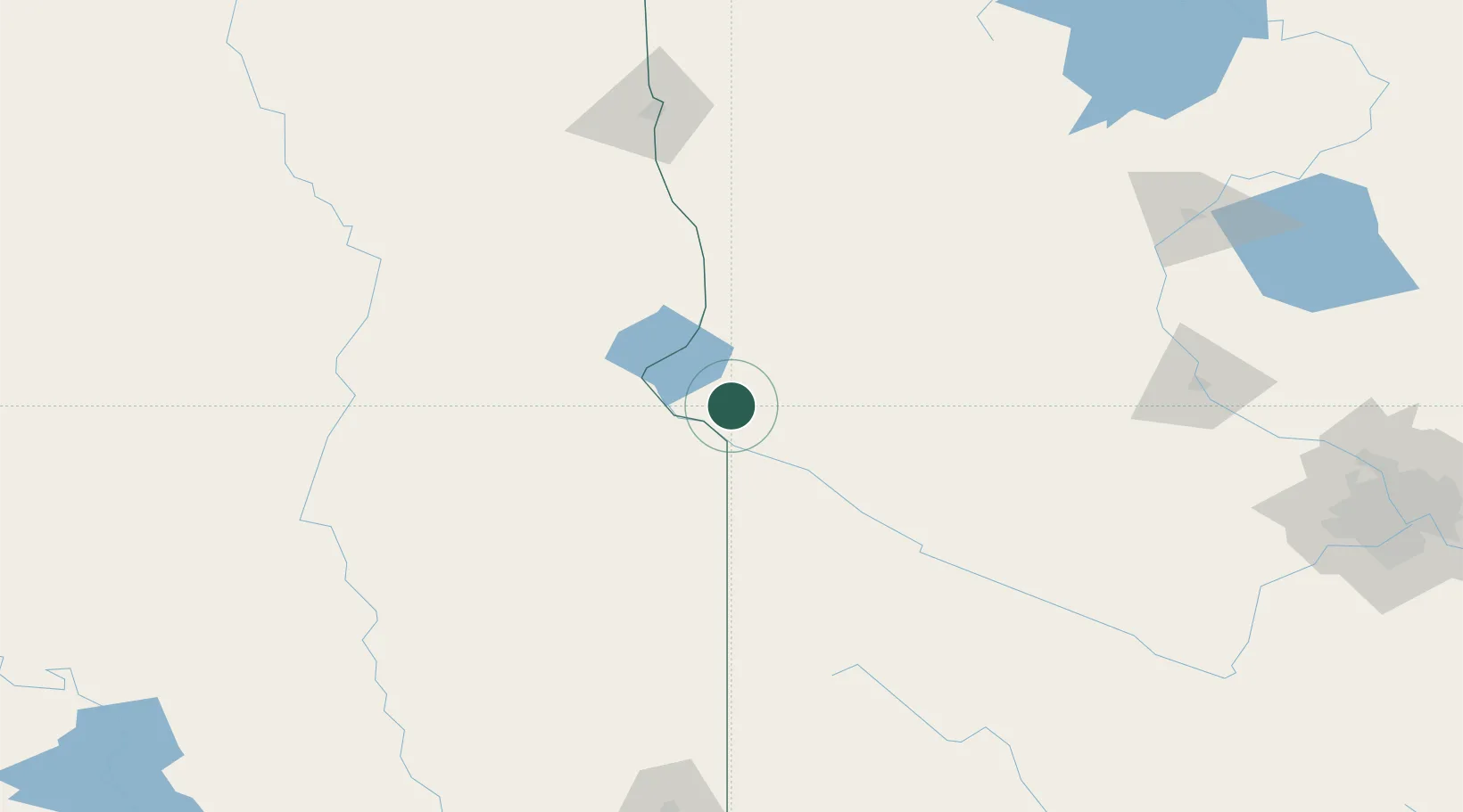
Hub Profile
Place type
Populated place
Region
Minnesota
Population
419
Time zone
America/Chicago
Elevation
351 m
Location
Nearby Logistics Neighbours
Cities
- 1Big Stone City20 km
- 2Odessa26 km
- 3Rosholt50 km
- 4Hancock51 km
- 5Sisseton53 km
Ports
- 1Duluth364 km
- 2Superior365 km
- 3Two Harbors406 km
- 4Ashland448 km
- 5Washburn448 km
Airports
- 1Watertown Regional Airport84 km
- 2Chandler Field92 km
- 3Redwood Falls Municipal Airport147 km
- 4Aberdeen Regional Airport155 km
- 5Hector International Airport164 km
Trade Zones
- 1FTZ No. 267 Fargo160 km
- 2FTZ No. 220 Sioux Falls215 km
- 3FTZ No. 119 Minneapolis-St. Paul256 km
- 4FTZ No. 288 Northwest Iowa258 km
- 5FTZ No. 103 Grand Forks278 km
DatabookThe Record of Consolidated Knowledge
United States beyond logistics?