Transport Functions
Port
Rail
Road
Hub Profile
Place type
Populated place
Region
South Dakota
Population
454
Time zone
America/Chicago
Elevation
423 m
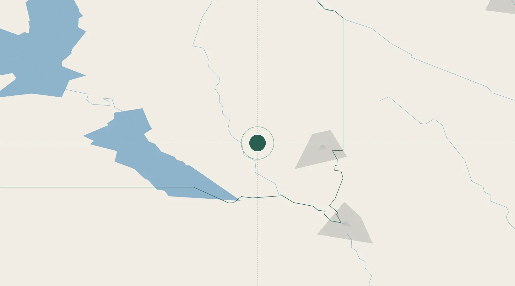
Location
Nearby Logistics Neighbours
Cities
- 1Bridgewater11 km
- 2Salem24 km
- 3Parkston37 km
- 4Scotland53 km
- 5Wentworth68 km
Ports
- 1Superior557 km
- 2Duluth557 km
- 3Two Harbors601 km
- 4Ashland626 km
- 5Washburn628 km
Airports
Trade Zones
- 1FTZ No. 220 Sioux Falls67 km
- 2FTZ No. 288 Northwest Iowa134 km
- 3FTZ No. 059 Lincoln318 km
- 4FTZ No. 267 Fargo365 km
- 5FTZ No. 119 Minneapolis-St. Paul380 km
DatabookThe Record of Consolidated Knowledge
United States beyond logistics?