UN/LOCODE hub · United States
USKJH
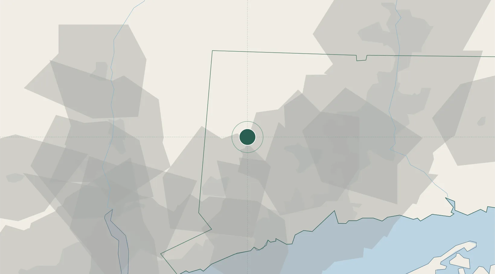
Washington
41.6500°, -73.3167°
3,466
Population
2
Transport functions
Transport Functions
Port
Multimodal
Hub Profile
Place type
Populated place
Region
Connecticut
Population
3,466
Time zone
America/New_York
Elevation
224 m
Location
Nearby Logistics Neighbours
Cities
- 1Bantam9 km
- 2Bethlehem10 km
- 3Morris10 km
- 4South Kent13 km
- 5Litchfield14 km
Ports
- 1Poughkeepsie53 km
- 2Bridgeport55 km
- 3New Haven57 km
- 4Southport58 km
- 5Newburgh59 km
Airports
Trade Zones
- 1FTZ No. 162 New Haven50 km
- 2FTZ No. 076 Bridgeport54 km
- 3FTZ No. 071 Windsor Locks65 km
- 4FTZ No. 201 Holyoke81 km
- 5FTZ No. 052 Suffolk County82 km
DatabookThe Record of Consolidated Knowledge
United States beyond logistics?