Transport Functions
Rail
Road
Hub Profile
Place type
Provincial seat
Region
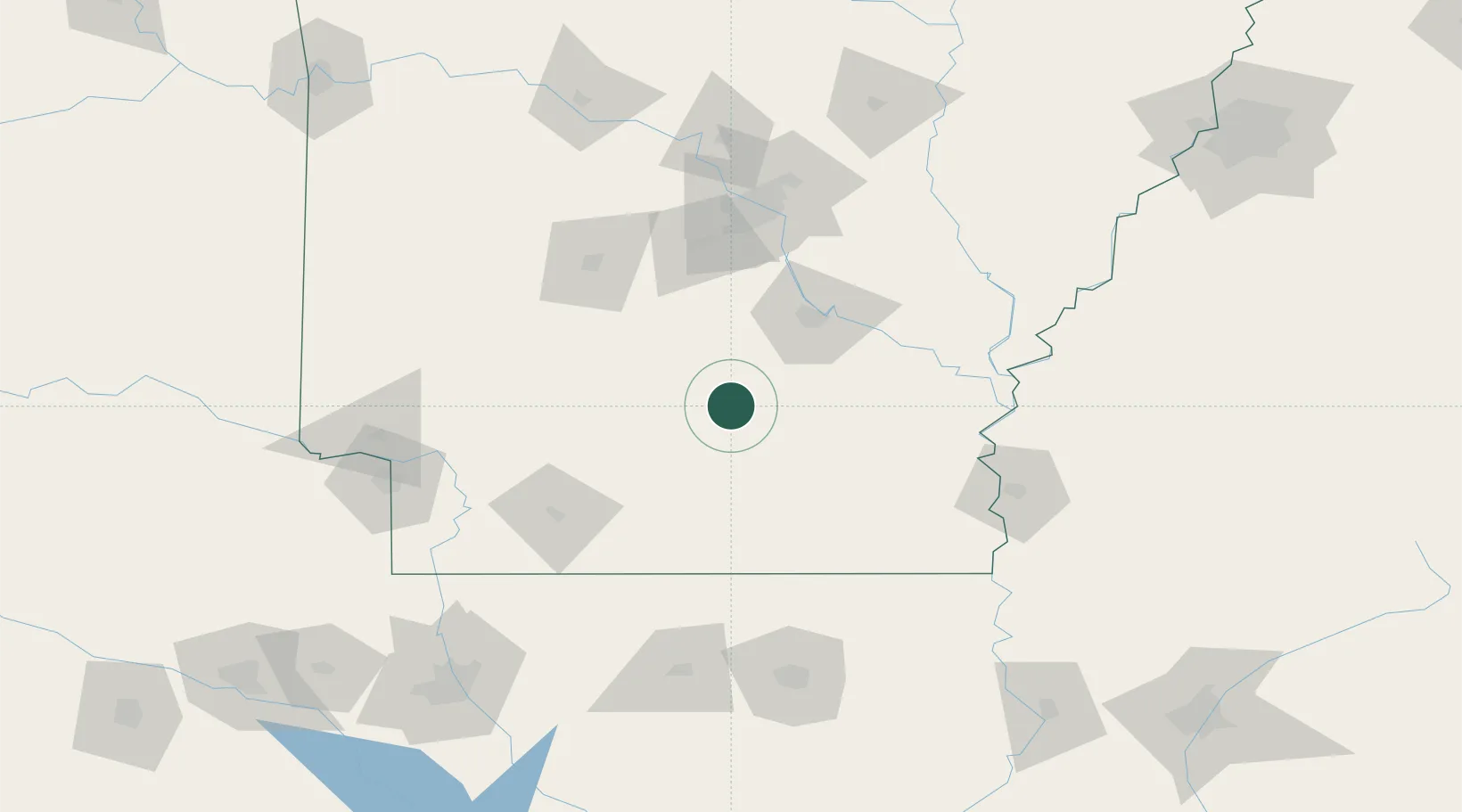
Arkansas
Population
4,027
Time zone
America/Chicago
Elevation
87 m
Location
Nearby Logistics Neighbours
Cities
- 1Draper31 km
- 2Star City55 km
- 3Smackover59 km
- 4Forest Park69 km
- 5Malvern71 km
Ports
- 1Port Of Memphis249 km
- 2Baton Rouge392 km
- 3Lake Charles408 km
- 4Orange433 km
- 5Madisonville436 km
Airports
Trade Zones
- 1FTZ No. 014 Little Rock102 km
- 2FTZ No. 287 Tunica County186 km
- 3FTZ No. 145 Shreveport208 km
- 4FTZ No. 146 Lawrence County208 km
- 5FTZ No. 258 Bowie County213 km
DatabookThe Record of Consolidated Knowledge
United States beyond logistics?