Transport Functions
Road
Multimodal
Hub Profile
Place type
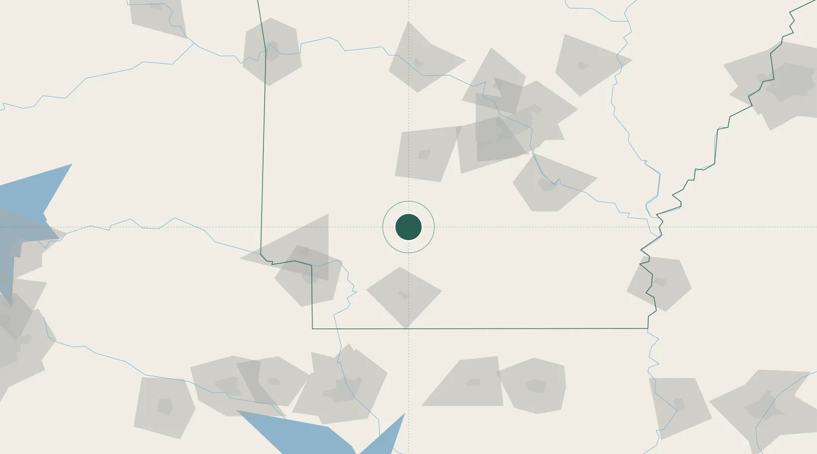
Populated place
Region
Arkansas
Time zone
America/Chicago
Elevation
68 m
Location
Nearby Logistics Neighbours
Cities
- 1Clear Lake33 km
- 2Bismarck47 km
- 3Nashville57 km
- 4Glenwood58 km
- 5Pearcy60 km
Ports
- 1Port Of Memphis309 km
- 2Lake Charles408 km
- 3Orange425 km
- 4Baton Rouge427 km
- 5Beaumont430 km
Airports
Trade Zones
- 1FTZ No. 014 Little Rock132 km
- 2FTZ No. 258 Bowie County142 km
- 3FTZ No. 145 Shreveport172 km
- 4FTZ No. 146 Lawrence County172 km
- 5FTZ No. 234 Gregg County220 km
DatabookThe Record of Consolidated Knowledge
United States beyond logistics?