UN/LOCODE hub · United States
USHMH

Homer

32.8000°, -93.0667°
3,005
Population
3
Transport functions

Transport Functions

Rail
Road
Multimodal
UN/LOCODE

Hub Profile

Place type
Provincial seat
GeoNames
Region
Louisiana
GeoNames
Population
3,005
GeoNames
Time zone
America/Chicago
GeoNames
Elevation
86 m
GeoNames

Location

Location of USHMH
Natural Earth 10m (public domain) · Louisiana · USHMH · 32.80, -93.07GoogleOSMYandex

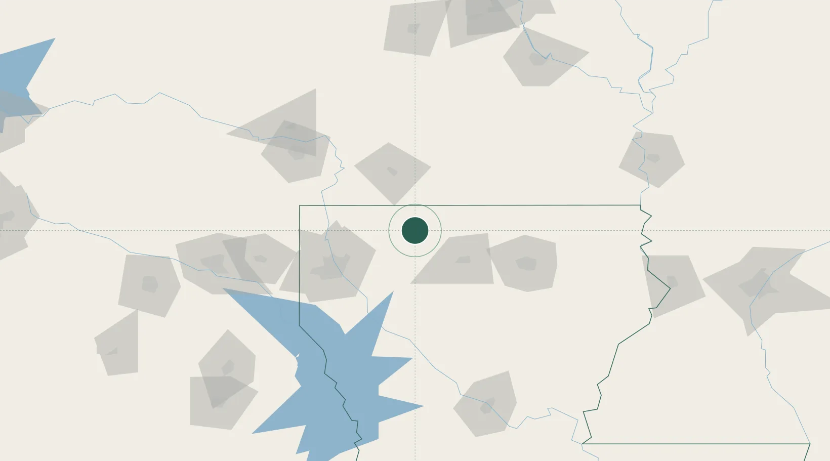
Nearby Logistics Neighbours

Cities
  1. 1Taylor30 km
  2. 2Arcadia31 km
  3. 3Cotton Valley33 km
  4. 4Sarepta37 km
  5. 5Simsboro40 km
Nearest neighbours — logibook spatial index (haversine) over the source coordinates
Ports
  1. 1Lake Charles288 km
  2. 2Orange309 km
  3. 3Baton Rouge316 km
  4. 4Beaumont317 km
  5. 5Port Neches322 km
Nearest neighbours — logibook spatial index (haversine) over the source coordinates
Airports
  1. 1South Arkansas Regional Airport at Goodwin Field52 km
  2. 2Barksdale Air Force Base65 km
  3. 3Shreveport Regional Airport81 km
  4. 4Monroe Regional Airport102 km
  5. 5Texarkana Regional Airport (Webb Field)113 km
Nearest neighbours — logibook spatial index (haversine) over the source coordinates
Trade Zones
  1. 1FTZ No. 145 Shreveport91 km
  2. 2FTZ No. 146 Lawrence County91 km
  3. 3FTZ No. 258 Bowie County168 km
  4. 4FTZ No. 234 Gregg County177 km
  5. 5FTZ No. 158 Vicksburg Jackson220 km
Nearest neighbours — logibook spatial index (haversine) over the source coordinates
DatabookThe Record of Consolidated Knowledge
United States beyond logistics?
Browse databook

All Sources

LocationsUN/LOCODE
UN/LOCODE — free
LocationsGeoNames
CC BY 4.0
Portsthe NGA World Port Index
Public domain (US gov)
AirportsOurAirports
Public domain
Trade Zonesthe World Bank SEZ database
CC BY 4.0
Trade ZonesOpen Zone Map
CC BY
← United States locations