UN/LOCODE hub · United States
USSJP
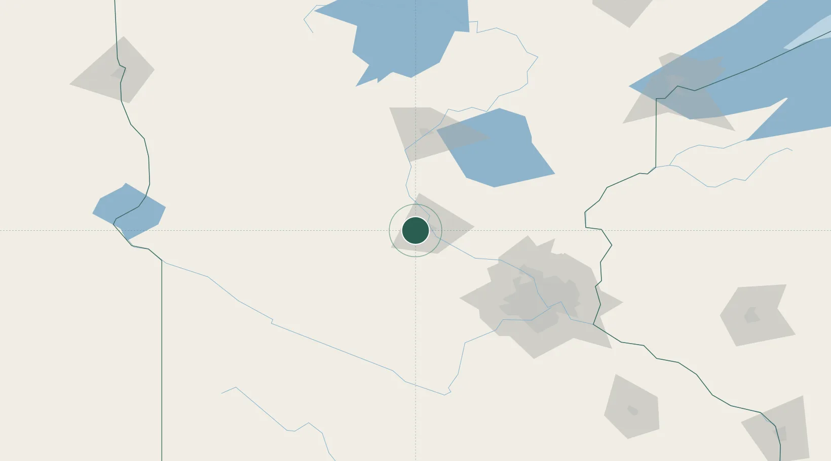
Saint Joseph
45.5500°, -94.3167°
6,534
Population
2
Transport functions
Transport Functions
Rail
Road
Hub Profile
Place type
Populated place
Region
Minnesota
Population
6,534
Time zone
America/Chicago
Elevation
334 m
Location
Nearby Logistics Neighbours
Cities
- 1Collegeville5 km
- 2Waite Park8 km
- 3Rockville9 km
- 4Richmond19 km
- 5Albany21 km
Ports
- 1Superior218 km
- 2Duluth218 km
- 3Two Harbors262 km
- 4Ashland291 km
- 5Washburn292 km
Airports
Trade Zones
- 1FTZ No. 119 Minneapolis-St. Paul106 km
- 2FTZ No. 051 Duluth209 km
- 3FTZ No. 267 Fargo250 km
- 4FTZ No. 220 Sioux Falls297 km
- 5FTZ No. 288 Northwest Iowa300 km
DatabookThe Record of Consolidated Knowledge
United States beyond logistics?