UN/LOCODE hub · United States
USITP
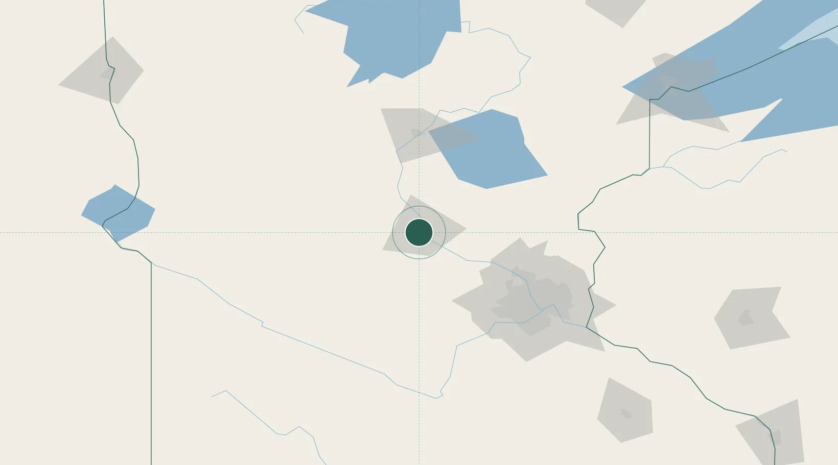
Waite Park
45.5500°, -94.2167°
7,517
Population
2
Transport functions
Transport Functions
Road
Multimodal
Hub Profile
Place type
Populated place
Region
Minnesota
Population
7,517
Time zone
America/Chicago
Elevation
327 m
Location
Nearby Logistics Neighbours
Cities
- 1Saint Joseph8 km
- 2Collegeville11 km
- 3Rockville13 km
- 4Clearwater20 km
- 5Rice22 km
Ports
- 1Superior212 km
- 2Duluth212 km
- 3Two Harbors256 km
- 4Ashland284 km
- 5Washburn285 km
Airports
Trade Zones
- 1FTZ No. 119 Minneapolis-St. Paul100 km
- 2FTZ No. 051 Duluth203 km
- 3FTZ No. 267 Fargo257 km
- 4FTZ No. 220 Sioux Falls302 km
- 5FTZ No. 259 Koochiching County303 km
DatabookThe Record of Consolidated Knowledge
United States beyond logistics?