Transport Functions
Rail
Road
Multimodal
Hub Profile
Place type
Populated place
Region
Minnesota
Population
2,647
Time zone
America/Chicago
Elevation
367 m
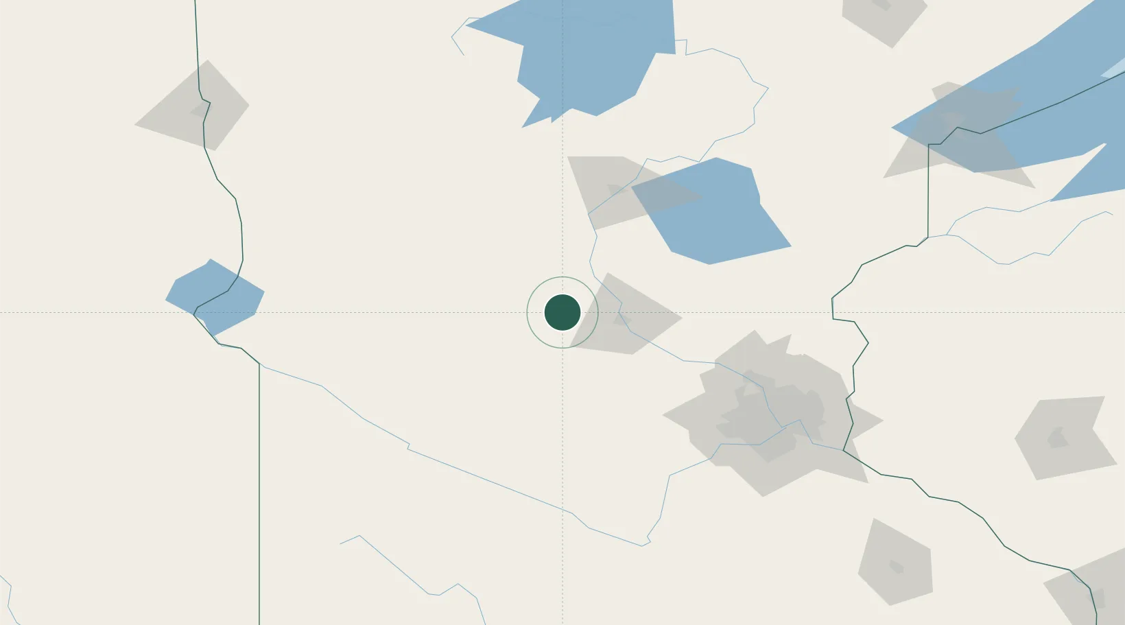
Location
Nearby Logistics Neighbours
Cities
- 1Collegeville17 km
- 2Richmond19 km
- 3Saint Joseph21 km
- 4Rockville25 km
- 5Waite Park28 km
Ports
- 1Duluth229 km
- 2Superior229 km
- 3Two Harbors273 km
- 4Ashland305 km
- 5Washburn307 km
Airports
Trade Zones
- 1FTZ No. 119 Minneapolis-St. Paul127 km
- 2FTZ No. 051 Duluth219 km
- 3FTZ No. 267 Fargo230 km
- 4FTZ No. 220 Sioux Falls290 km
- 5FTZ No. 259 Koochiching County297 km
DatabookThe Record of Consolidated Knowledge
United States beyond logistics?