UN/LOCODE hub · United States
USLGV
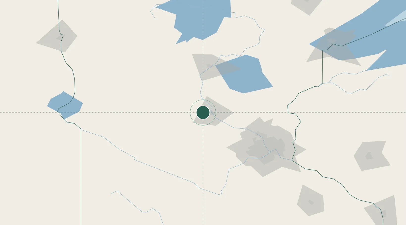
Collegeville
45.5833°, -94.3500°
3,516
Population
2
Transport functions
Transport Functions
Road
Multimodal
Hub Profile
Place type
Populated place
Region
Minnesota
Population
3,516
Time zone
America/Chicago
Elevation
334 m
Location
Nearby Logistics Neighbours
Cities
- 1Saint Joseph5 km
- 2Waite Park11 km
- 3Rockville13 km
- 4Albany17 km
- 5Richmond20 km
Ports
- 1Superior217 km
- 2Duluth218 km
- 3Two Harbors262 km
- 4Ashland291 km
- 5Washburn293 km
Airports
Trade Zones
- 1FTZ No. 119 Minneapolis-St. Paul111 km
- 2FTZ No. 051 Duluth208 km
- 3FTZ No. 267 Fargo246 km
- 4FTZ No. 220 Sioux Falls298 km
- 5FTZ No. 259 Koochiching County300 km
DatabookThe Record of Consolidated Knowledge
United States beyond logistics?