Medium airport · United States
Brainerd Lakes Regional AirportKBRD
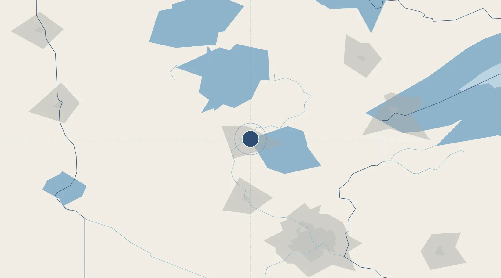
46.4029°, -94.1297°
7,100 ft
Longest runway
3
Runways
1,232 ft
Elevation
Runway & Layout

Radio Frequencies
ASOS
126.775 MHz
CNTR
118.05 MHz
MINNEAPOLIS CNTR
RDO
123.65 MHz
PRINCETON RDO
UNIC
122.7 MHz
CTAF/UNICOM
Runways · 3
| Runway | Dimensions | Surface | True heading | Lit |
|---|---|---|---|---|
| 16/34 | 7,100 × 150ft | CONC-E | 163° | — |
| 05/23 | 6,512 × 150ft | Asphalt | 053° | ✓ |
| 12/30 | 4,080 × 75ft | Asphalt | 126° | ✓ |
Airport Specifications
IATA code
BRD
ICAO code
KBRD
Airport class
Medium airport
Scheduled service
Yes
Runway surface
CONC-E
Served city
Brainerd
Location
Nearby Logistics Neighbours
Airports
- 1Saint Cloud Regional Airport95 km
- 2Chandler Field114 km
- 3Bemidji Regional Airport137 km
- 4Range Regional Airport147 km
- 5Duluth International Airport155 km
Cities
- 1Deerwood20 km
- 2Pequot Lakes21 km
- 3Pillager27 km
- 4Freeport51 km
- 5Staples51 km
Ports
- 1Duluth160 km
- 2Superior162 km
- 3Two Harbors201 km
- 4Washburn250 km
- 5Ashland251 km
Trade Zones
- 1FTZ No. 051 Duluth149 km
- 2FTZ No. 119 Minneapolis-St. Paul174 km
- 3FTZ No. 259 Koochiching County209 km
- 4FTZ No. 267 Fargo223 km
- 5FTZ No. 103 Grand Forks285 km
DatabookThe Record of Consolidated Knowledge
United States beyond logistics?