UN/LOCODE hub · United States
USRMF
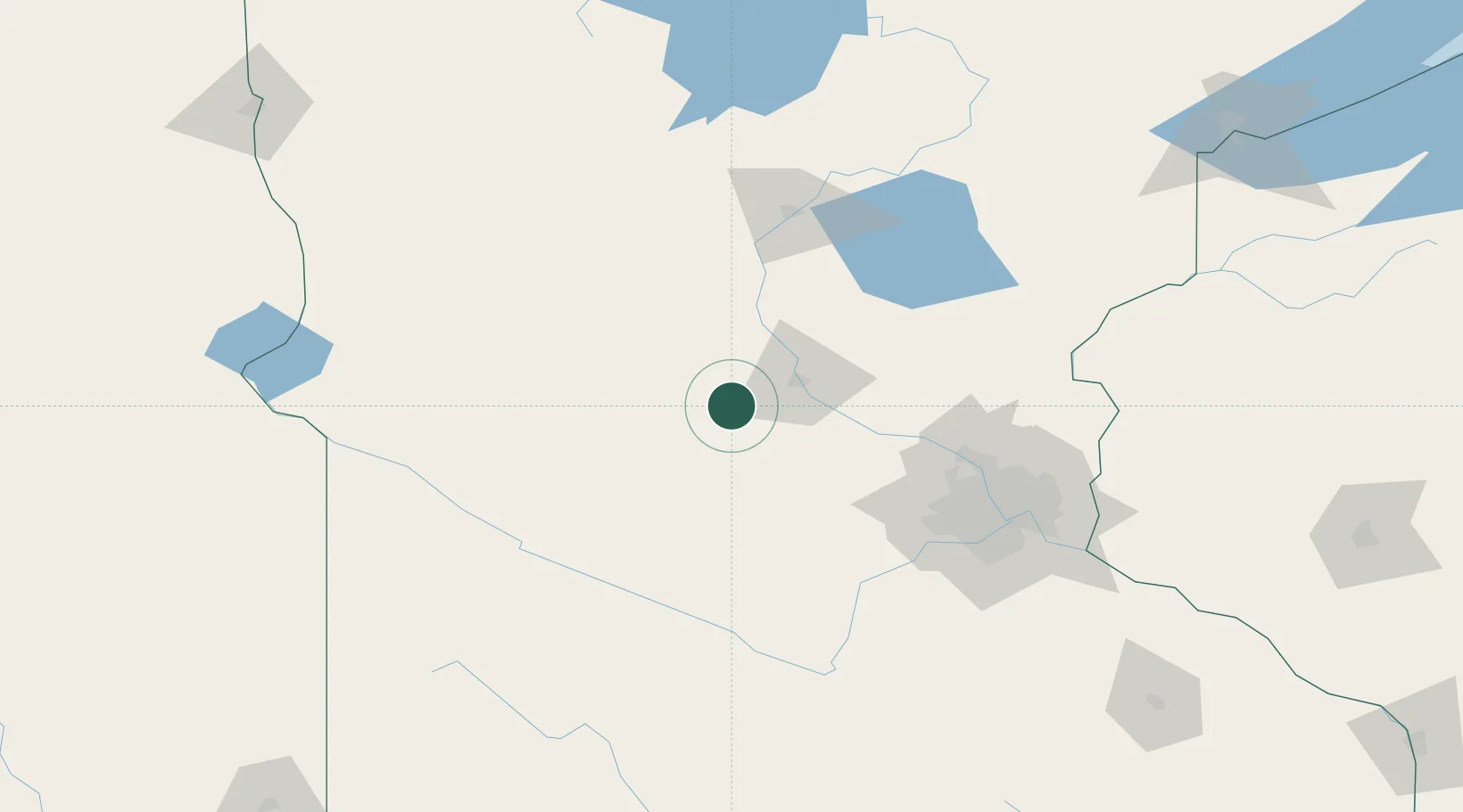
Richmond
45.4500°, -94.5167°
1,435
Population
2
Transport functions
Transport Functions
Rail
Road
Hub Profile
Place type
Populated place
Region
Minnesota
Population
1,435
Time zone
America/Chicago
Elevation
342 m
Location
Nearby Logistics Neighbours
Cities
- 1Rockville14 km
- 2Eden Valley15 km
- 3Watkins17 km
- 4Albany19 km
- 5Saint Joseph19 km
Ports
- 1Superior237 km
- 2Duluth237 km
- 3Two Harbors281 km
- 4Ashland309 km
- 5Washburn311 km
Airports
Trade Zones
- 1FTZ No. 119 Minneapolis-St. Paul114 km
- 2FTZ No. 051 Duluth228 km
- 3FTZ No. 267 Fargo245 km
- 4FTZ No. 220 Sioux Falls278 km
- 5FTZ No. 288 Northwest Iowa283 km
DatabookThe Record of Consolidated Knowledge
United States beyond logistics?