UN/LOCODE hub · United States
USR79
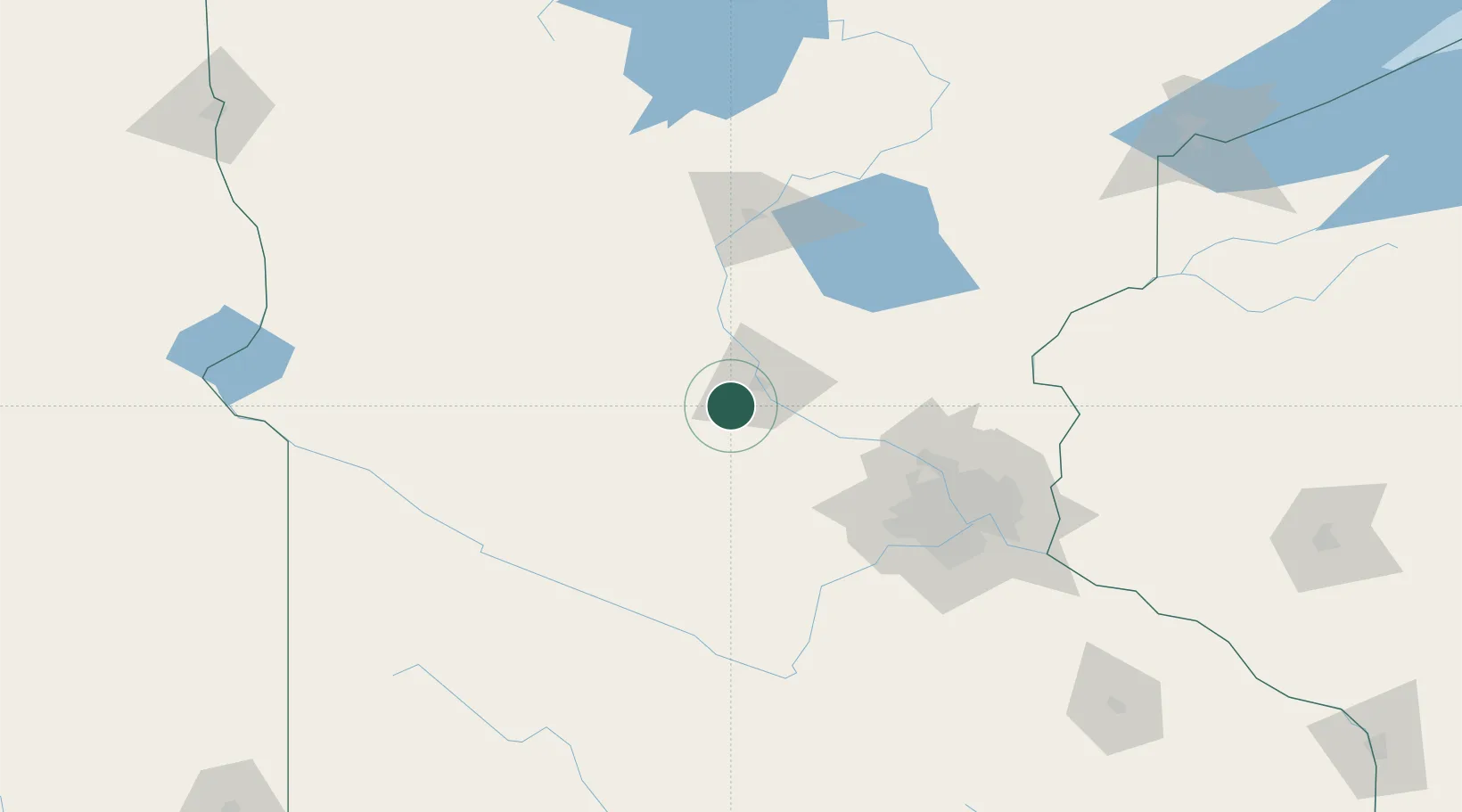
Rockville
45.4667°, -94.3333°
2,514
Population
2
Transport functions
Transport Functions
Rail
Road
Hub Profile
Place type
Populated place
Region
Minnesota
Population
2,514
Time zone
America/Chicago
Elevation
328 m
Location
Nearby Logistics Neighbours
Cities
- 1Saint Joseph9 km
- 2Waite Park13 km
- 3Collegeville13 km
- 4Richmond14 km
- 5Kimball17 km
Ports
- 1Superior224 km
- 2Duluth225 km
- 3Two Harbors269 km
- 4Ashland296 km
- 5Washburn298 km
Airports
Trade Zones
- 1FTZ No. 119 Minneapolis-St. Paul102 km
- 2FTZ No. 051 Duluth216 km
- 3FTZ No. 267 Fargo255 km
- 4FTZ No. 220 Sioux Falls289 km
- 5FTZ No. 288 Northwest Iowa291 km
DatabookThe Record of Consolidated Knowledge
United States beyond logistics?