UN/LOCODE hub · United States
USSIP
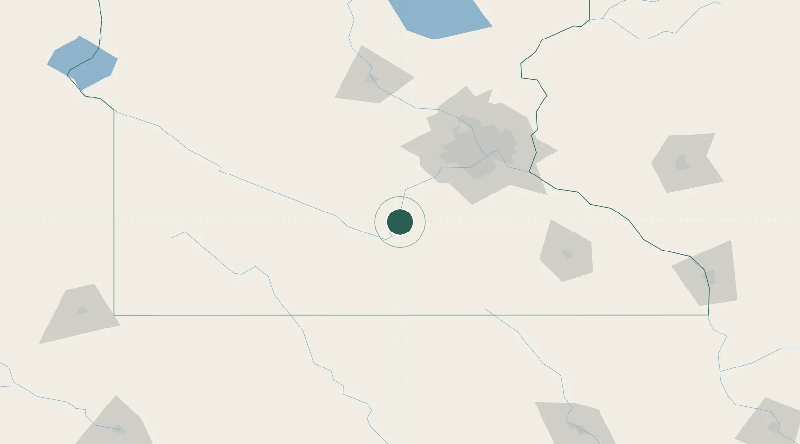
Saint Peter
44.3167°, -93.9500°
11,196
Population
3
Transport functions
Transport Functions
Road
Airport
Multimodal
Hub Profile
Place type
Provincial seat
Region
Minnesota
Population
11,196
Time zone
America/Chicago
Elevation
234 m
Location
Nearby Logistics Neighbours
Cities
- 1Kasota4 km
- 2Le Sueur15 km
- 3Henderson23 km
- 4Brighton31 km
- 5Garden City36 km
Ports
- 1Superior306 km
- 2Duluth308 km
- 3Two Harbors349 km
- 4Ashland350 km
- 5Washburn354 km
Airports
Trade Zones
- 1FTZ No. 119 Minneapolis-St. Paul92 km
- 2FTZ No. 288 Northwest Iowa214 km
- 3FTZ No. 220 Sioux Falls243 km
- 4FTZ No. 107 Polk County295 km
- 5FTZ No. 051 Duluth303 km
DatabookThe Record of Consolidated Knowledge
United States beyond logistics?