Transport Functions
Rail
Road
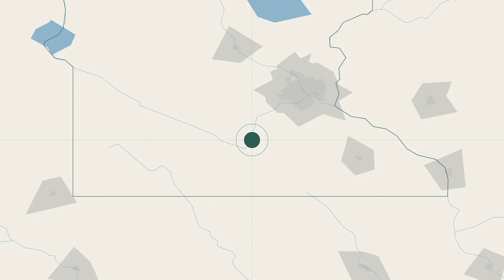
Hub Profile
Place type
Populated place
Region
Minnesota
Population
660
Time zone
America/Chicago
Elevation
246 m
Location
Nearby Logistics Neighbours
Cities
- 1Saint Peter4 km
- 2Le Sueur19 km
- 3Henderson27 km
- 4Brighton30 km
- 5Garden City32 km
Ports
- 1Superior310 km
- 2Duluth312 km
- 3Two Harbors353 km
- 4Ashland353 km
- 5Washburn358 km
Airports
Trade Zones
- 1FTZ No. 119 Minneapolis-St. Paul96 km
- 2FTZ No. 288 Northwest Iowa210 km
- 3FTZ No. 220 Sioux Falls241 km
- 4FTZ No. 107 Polk County291 km
- 5FTZ No. 051 Duluth307 km
DatabookThe Record of Consolidated Knowledge
United States beyond logistics?