Transport Functions
Port
Multimodal
Hub Profile
Place type
Populated place
Region
Minnesota
Population
874
Time zone
America/Chicago
Elevation
230 m
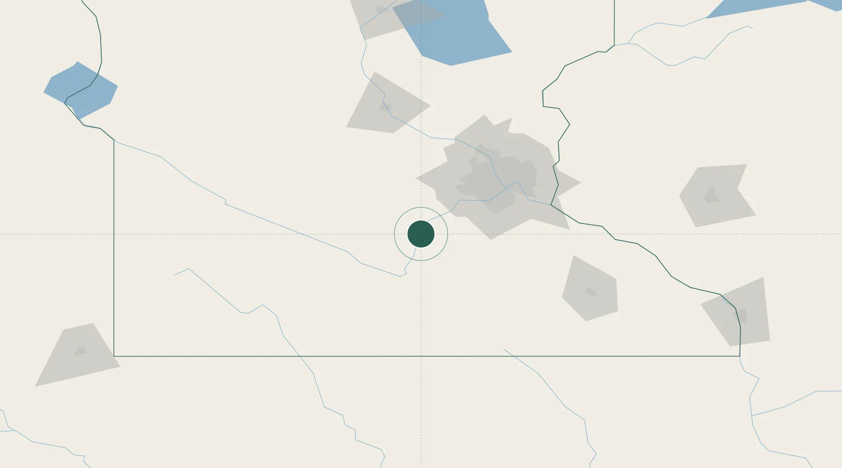
Location
Nearby Logistics Neighbours
Cities
- 1Le Sueur7 km
- 2Belle Plaine15 km
- 3Saint Peter23 km
- 4Bongards27 km
- 5Kasota27 km
Ports
- 1Superior285 km
- 2Duluth287 km
- 3Two Harbors328 km
- 4Ashland331 km
- 5Washburn335 km
Airports
Trade Zones
- 1FTZ No. 119 Minneapolis-St. Paul73 km
- 2FTZ No. 288 Northwest Iowa230 km
- 3FTZ No. 220 Sioux Falls255 km
- 4FTZ No. 051 Duluth281 km
- 5FTZ No. 107 Polk County317 km
DatabookThe Record of Consolidated Knowledge
United States beyond logistics?