Transport Functions
Road
Multimodal
Hub Profile
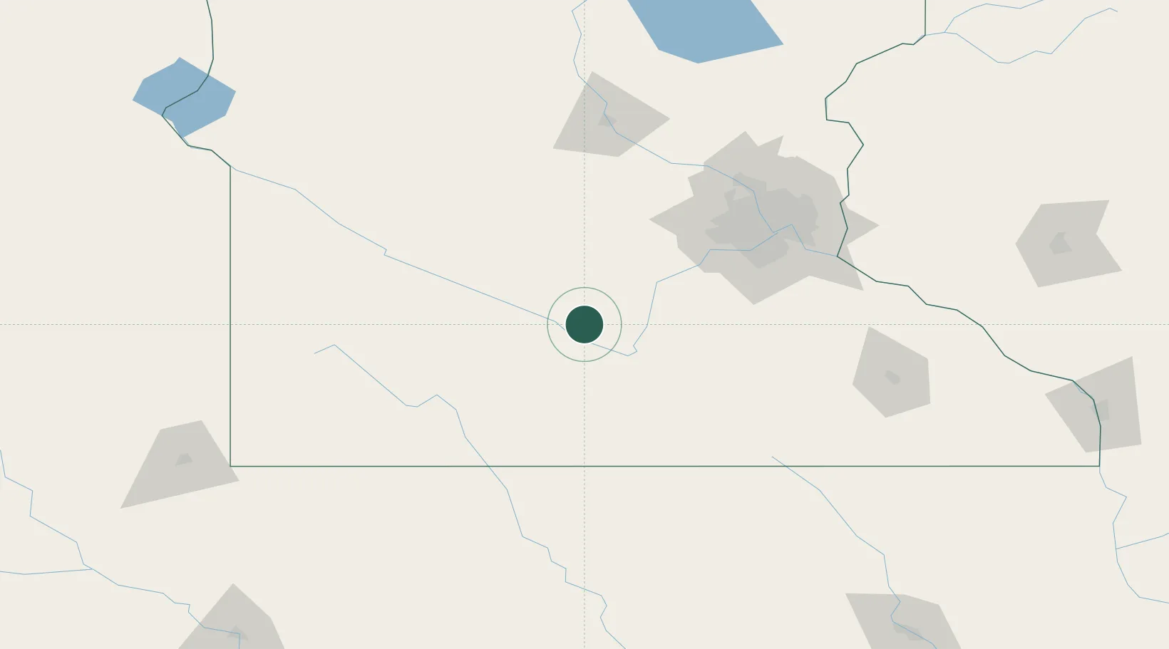
Place type
Populated place
Region
Iowa
Population
659
Time zone
America/Chicago
Elevation
230 m
Location
Nearby Logistics Neighbours
Cities
- 1Kasota30 km
- 2Saint Peter31 km
- 3Sleepy Eye32 km
- 4Le Sueur36 km
- 5Fairfax37 km
Ports
- 1Superior318 km
- 2Duluth320 km
- 3Two Harbors362 km
- 4Ashland368 km
- 5Washburn372 km
Airports
Trade Zones
- 1FTZ No. 119 Minneapolis-St. Paul111 km
- 2FTZ No. 288 Northwest Iowa192 km
- 3FTZ No. 220 Sioux Falls216 km
- 4FTZ No. 107 Polk County302 km
- 5FTZ No. 051 Duluth314 km
DatabookThe Record of Consolidated Knowledge
United States beyond logistics?