UN/LOCODE hub · United States
USLUU
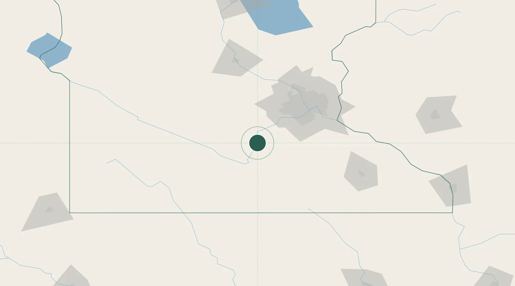
Le Sueur
44.4500°, -93.9000°
3,999
Population
3
Transport functions
Transport Functions
Port
Rail
Road
Hub Profile
Place type
Populated place
Region
Minnesota
Population
3,999
Time zone
America/Chicago
Elevation
236 m
Location
Nearby Logistics Neighbours
Cities
- 1Henderson7 km
- 2Saint Peter15 km
- 3Kasota19 km
- 4Belle Plaine21 km
- 5Jordan, Scott32 km
Ports
- 1Superior291 km
- 2Duluth293 km
- 3Two Harbors335 km
- 4Ashland336 km
- 5Washburn340 km
Airports
Trade Zones
- 1FTZ No. 119 Minneapolis-St. Paul78 km
- 2FTZ No. 288 Northwest Iowa226 km
- 3FTZ No. 220 Sioux Falls252 km
- 4FTZ No. 051 Duluth288 km
- 5FTZ No. 107 Polk County309 km
DatabookThe Record of Consolidated Knowledge
United States beyond logistics?