Transport Functions
Multimodal
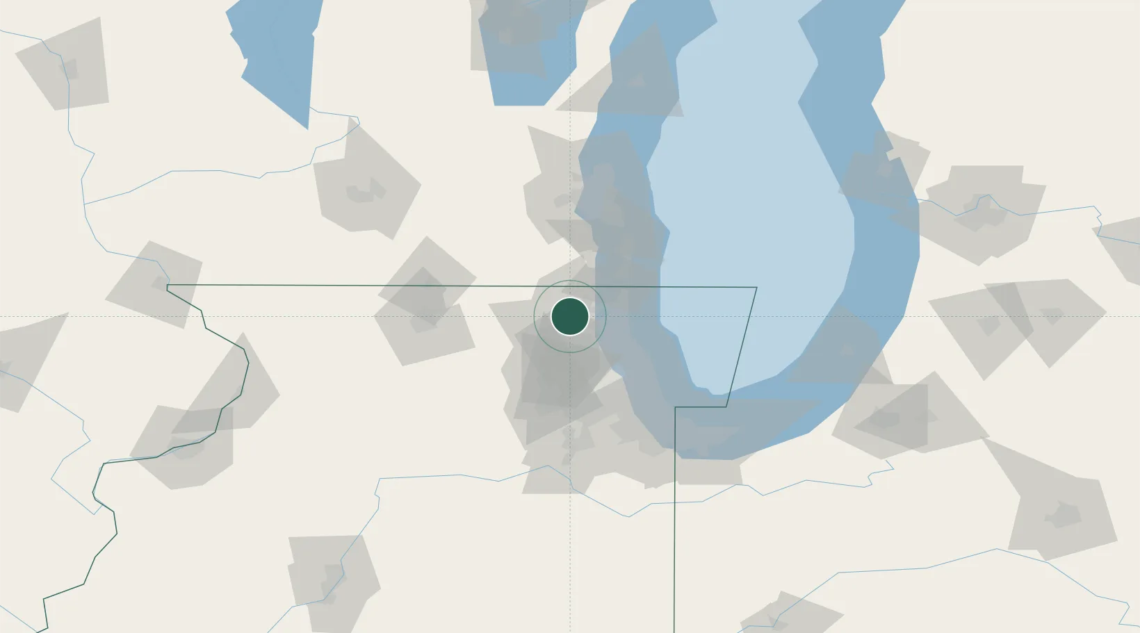
Hub Profile
Place type
Populated place
Region
Illinois
Population
4,164
Time zone
America/Chicago
Elevation
242 m
Location
Nearby Logistics Neighbours
Cities
- 1Ingleside6 km
- 2Johnsburg10 km
- 3Spring Grove13 km
- 4Fairfield15 km
- 5Lindenhurst17 km
Ports
- 1Great Lakes28 km
- 2Waukegan29 km
- 3Kenosha41 km
- 4Wilmette48 km
- 5Racine56 km
Airports
Trade Zones
- 1FTZ No. 292 Lake County23 km
- 2FTZ No. 022 Chicago59 km
- 3FTZ No. 041 Milwaukee83 km
- 4FTZ No. 176 Rockford86 km
- 5FTZ No. 152 Burns Harbor114 km
DatabookThe Record of Consolidated Knowledge
United States beyond logistics?