UN/LOCODE hub · United States
USRMN
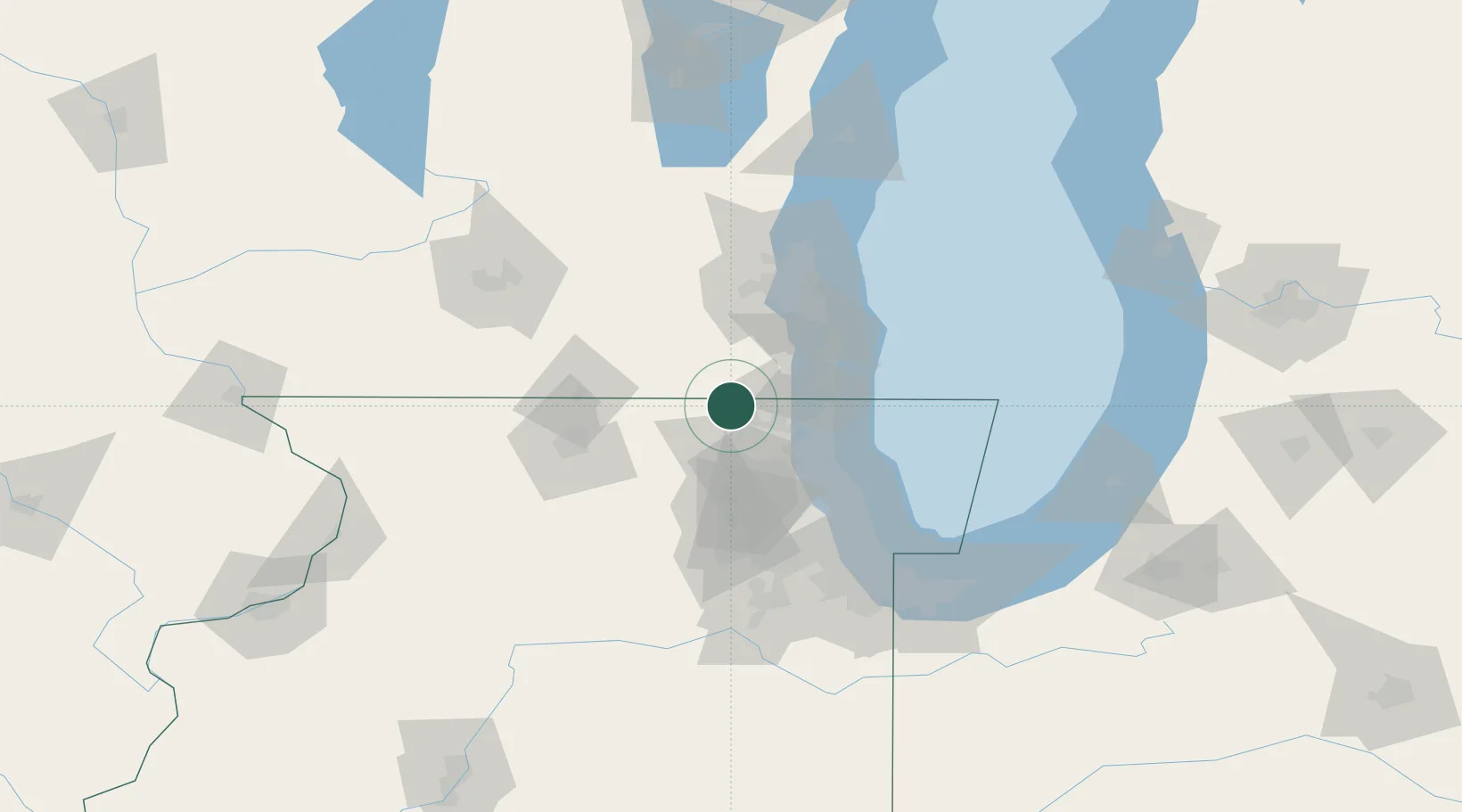
Richmond
42.4667°, -88.3000°
1,900
Population
2
Transport functions
Transport Functions
Rail
Road
Hub Profile
Place type
Populated place
Region
Illinois
Population
1,900
Time zone
America/Chicago
Elevation
250 m
Location
Nearby Logistics Neighbours
Cities
- 1Genoa City4 km
- 2Johnsburg10 km
- 3Spring Grove10 km
- 4Greenwood12 km
- 5Zenda16 km
Ports
- 1Waukegan41 km
- 2Kenosha42 km
- 3Great Lakes43 km
- 4Racine52 km
- 5Wilmette66 km
Airports
Trade Zones
- 1FTZ No. 292 Lake County37 km
- 2FTZ No. 041 Milwaukee68 km
- 3FTZ No. 176 Rockford78 km
- 4FTZ No. 022 Chicago79 km
- 5FTZ No. 266 Dane County133 km
DatabookThe Record of Consolidated Knowledge
United States beyond logistics?