UN/LOCODE hub · United States
USSC2
Sauk Centre
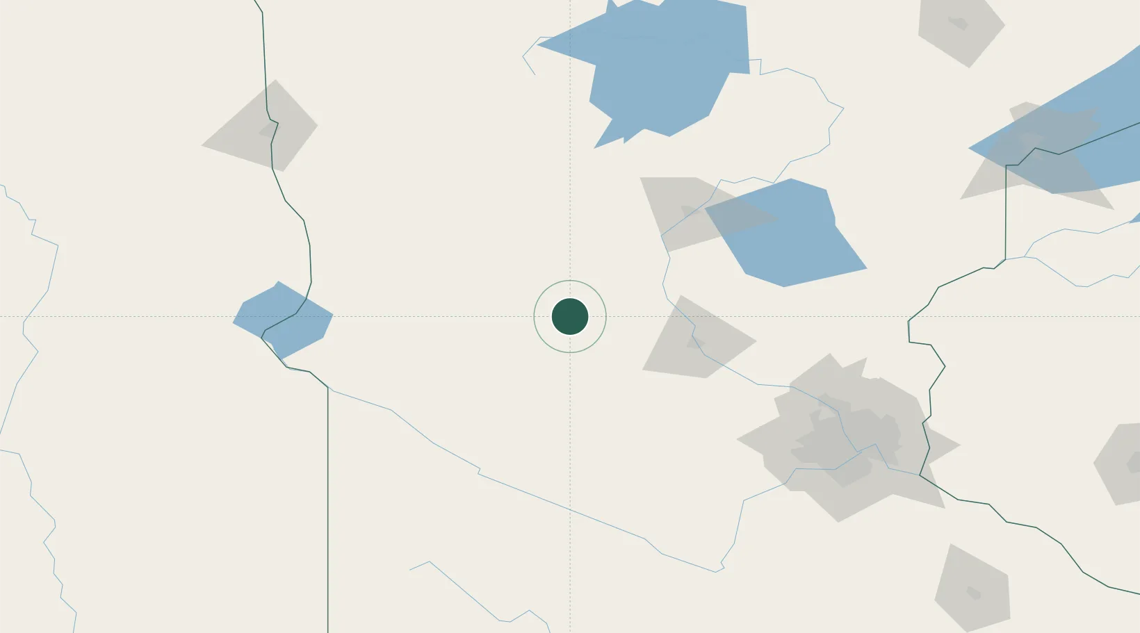
45.7333°, -94.9667°
4,357
Population
2
Transport functions
Transport Functions
Rail
Road
Hub Profile
Place type
Populated place
Region
Minnesota
Population
4,357
Time zone
America/Chicago
Elevation
381 m
Location
Nearby Logistics Neighbours
Cities
- 1Albany34 km
- 2Richmond47 km
- 3Collegeville51 km
- 4Little Falls54 km
- 5Saint Joseph55 km
Ports
- 1Duluth249 km
- 2Superior249 km
- 3Two Harbors292 km
- 4Ashland330 km
- 5Washburn331 km
Airports
Trade Zones
- 1FTZ No. 119 Minneapolis-St. Paul160 km
- 2FTZ No. 267 Fargo198 km
- 3FTZ No. 051 Duluth238 km
- 4FTZ No. 220 Sioux Falls282 km
- 5FTZ No. 259 Koochiching County287 km
DatabookThe Record of Consolidated Knowledge
United States beyond logistics?