UN/LOCODE hub · United States
USLFS
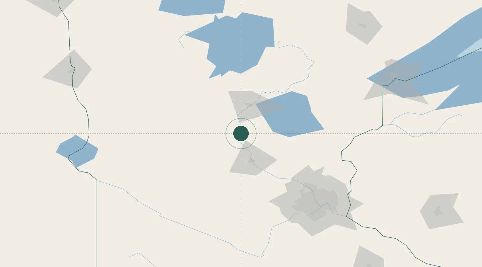
Little Falls
45.9667°, -94.3500°
8,649
Population
3
Transport functions
Transport Functions
Rail
Road
Multimodal
Hub Profile
Place type
Provincial seat
Region
Minnesota
Population
8,649
Time zone
America/Chicago
Elevation
339 m
Location
Nearby Logistics Neighbours
Cities
- 1Rice25 km
- 2Pillager42 km
- 3Albany42 km
- 4Collegeville43 km
- 5Saint Joseph46 km
Ports
- 1Duluth194 km
- 2Superior195 km
- 3Two Harbors237 km
- 4Ashland277 km
- 5Washburn277 km
Airports
Trade Zones
- 1FTZ No. 119 Minneapolis-St. Paul141 km
- 2FTZ No. 051 Duluth184 km
- 3FTZ No. 267 Fargo224 km
- 4FTZ No. 259 Koochiching County257 km
- 5FTZ No. 103 Grand Forks305 km
DatabookThe Record of Consolidated Knowledge
United States beyond logistics?