UN/LOCODE hub · United States
USSB6
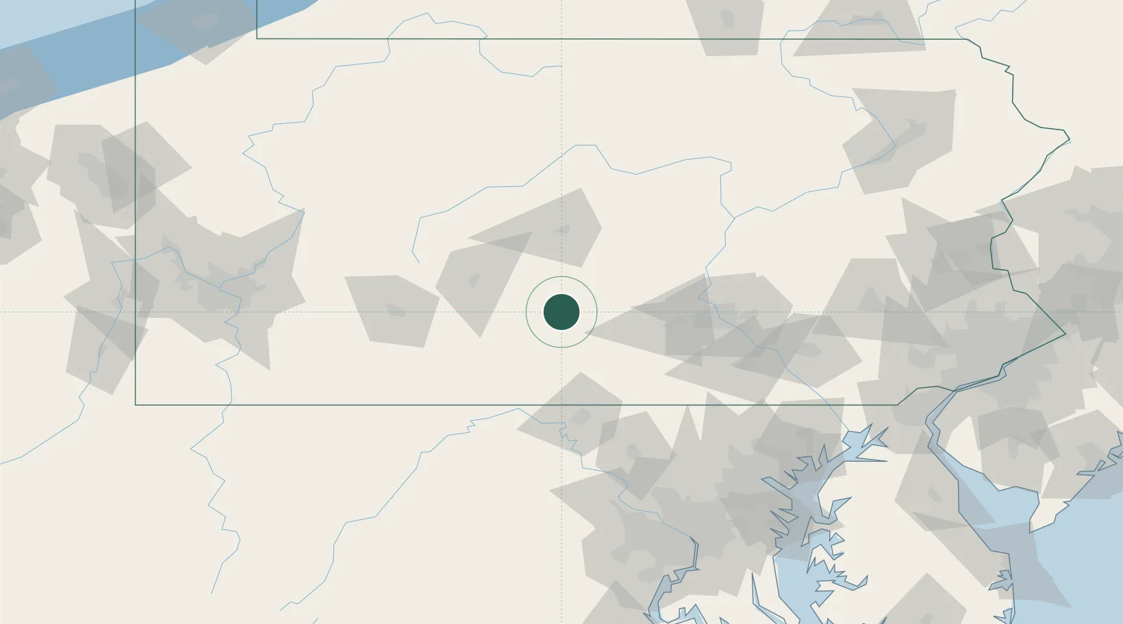
Shirleysburg
40.3000°, -77.8667°
148
Population
2
Transport functions
Transport Functions
Road
Multimodal
Hub Profile
Place type
Populated place
Region
Pennsylvania
Population
148
Time zone
America/New_York
Elevation
183 m
Location
Nearby Logistics Neighbours
Cities
- 1Mount Union, Huntingdon9 km
- 2Orrstown36 km
- 3Martinsburg38 km
- 4Lewistown, Mifflin41 km
- 5Newville42 km
Ports
- 1Baltimore159 km
- 2Havre De Grace174 km
- 3Washington D.C.175 km
- 4Alexandria181 km
- 5Annapolis188 km
Airports
Trade Zones
DatabookThe Record of Consolidated Knowledge
United States beyond logistics?