UN/LOCODE hub · United States
USONU

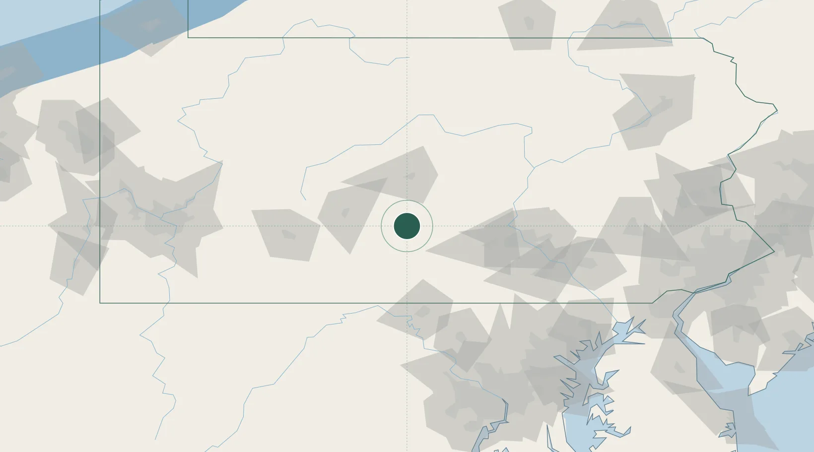
Mount Union, Huntingdon

40.3833°, -77.8833°
2
Transport functions

Transport Functions

Rail
Road
UN/LOCODE

Hub Profile

Region
PA
GeoNames

Location

Location of USONU
Natural Earth 10m (public domain) · PA · USONU · 40.38, -77.88GoogleOSMYandex

Nearby Logistics Neighbours

Cities
  1. 1Shirleysburg9 km
  2. 2Lewistown, Mifflin35 km
  3. 3Martinsburg38 km
  4. 4Hollidaysburg43 km
  5. 5Orrstown44 km
Nearest neighbours — logibook spatial index (haversine) over the source coordinates
Ports
  1. 1Baltimore167 km
  2. 2Havre De Grace180 km
  3. 3Washington D.C.184 km
  4. 4Alexandria191 km
  5. 5Annapolis196 km
Nearest neighbours — logibook spatial index (haversine) over the source coordinates
Airports
  1. 1Altoona Blair County Airport38 km
  2. 2State College Regional Airport52 km
  3. 3Hagerstown Regional Richard A Henson Field76 km
  4. 4John Murtha Johnstown Cambria County Airport81 km
  5. 5Harrisburg International Airport97 km
Nearest neighbours — logibook spatial index (haversine) over the source coordinates
Trade Zones
  1. 1FTZ No. 240 Martinsburg103 km
  2. 2FTZ No. 295 Central Pennsylvania108 km
  3. 3FTZ No. 147 Berks County137 km
  4. 4FTZ No. 254 Jefferson County138 km
  5. 5FTZ No. 137 Washington Dulles International Airport163 km
Nearest neighbours — logibook spatial index (haversine) over the source coordinates
DatabookThe Record of Consolidated Knowledge
United States beyond logistics?
Browse databook

All Sources

LocationsUN/LOCODE
UN/LOCODE — free
Portsthe NGA World Port Index
Public domain (US gov)
AirportsOurAirports
Public domain
Trade Zonesthe World Bank SEZ database
CC BY 4.0
Trade ZonesOpen Zone Map
CC BY
← United States locations