UN/LOCODE hub · United States
USLIR

Lanier

32.1167°, -81.5333°
3
Transport functions

Transport Functions

Rail
Road
Multimodal
UN/LOCODE

Hub Profile

Place type
Populated place
GeoNames
Region
Georgia
GeoNames
Time zone
America/New_York
GeoNames
Elevation
21 m
GeoNames

Location

Location of USLIR
Natural Earth 10m (public domain) · Georgia · USLIR · 32.12, -81.53GoogleOSMYandex

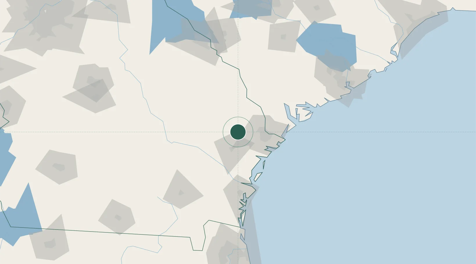
Nearby Logistics Neighbours

Cities
  1. 1Ellabell5 km
  2. 2Pembroke8 km
  3. 3Fort Stewart29 km
  4. 4Brooklet30 km
  5. 5McIntosh33 km
Nearest neighbours — logibook spatial index (haversine) over the source coordinates
Ports
  1. 1Savannah43 km
  2. 2Darien84 km
  3. 3Port Royal85 km
  4. 4Beaufort89 km
  5. 5Brunswick108 km
Nearest neighbours — logibook spatial index (haversine) over the source coordinates
Airports
  1. 1Savannah Hilton Head International Airport31 km
  2. 2Hunter Army Air Field38 km
  3. 3Hilton Head Airport80 km
  4. 4Beaufort MCAS - Merritt Field86 km
  5. 5Brunswick Golden Isles Airport96 km
Nearest neighbours — logibook spatial index (haversine) over the source coordinates
Trade Zones
  1. 1FTZ No. 104 Savannah41 km
  2. 2FTZ No. 144 Brunswick107 km
  3. 3FTZ No. 021 Dorchester County131 km
  4. 4FTZ No. 064 Jacksonville201 km
  5. 5FTZ No. 127 West Columbia212 km
Nearest neighbours — logibook spatial index (haversine) over the source coordinates
DatabookThe Record of Consolidated Knowledge
United States beyond logistics?
Browse databook

All Sources

LocationsUN/LOCODE
UN/LOCODE — free
Portsthe NGA World Port Index
Public domain (US gov)
AirportsOurAirports
Public domain
Trade Zonesthe World Bank SEZ database
CC BY 4.0
Trade ZonesOpen Zone Map
CC BY
← United States locations