UN/LOCODE hub · United States
USS7A
Saint Anthony
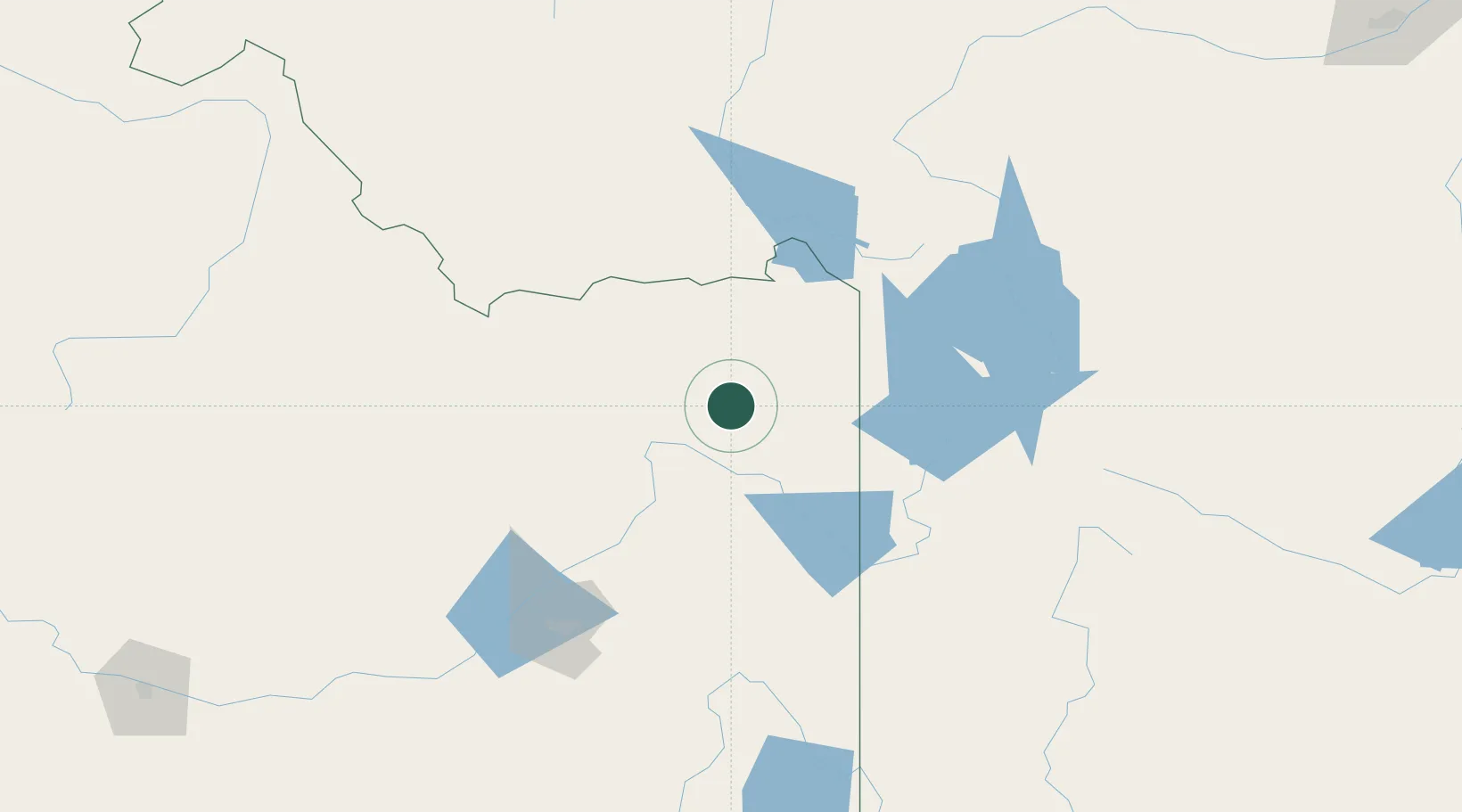
43.9500°, -111.6667°
3,542
Population
1
Transport functions
Transport Functions
Multimodal
Hub Profile
Place type
Provincial seat
Region
Idaho
Population
3,542
Time zone
America/Boise
Elevation
1,514 m
Location
Nearby Logistics Neighbours
Cities
- 1Sugar City11 km
- 2Rigby37 km
- 3Hamer43 km
- 4Camas44 km
- 5Alta55 km
Ports
- 1The Dalles773 km
- 2Sacramento1015 km
- 3Courtland1037 km
- 4Walnut Grove1041 km
- 5Stockton1047 km
Airports
- 1Idaho Falls Regional Airport58 km
- 2Jackson Hole Airport84 km
- 3Yellowstone Airport93 km
- 4Pocatello Regional Airport138 km
- 5Miley Memorial Field197 km
Trade Zones
- 1FTZ No. 274 Butte-Silver Bow239 km
- 2FTZ No. 275 Lansing239 km
- 3FTZ No. 030 Salt Lake City354 km
- 4FTZ No. 088 Great Falls396 km
- 5FTZ No. 280 Ada and Canyon Counties437 km
DatabookThe Record of Consolidated Knowledge
United States beyond logistics?