Transport Functions
Multimodal
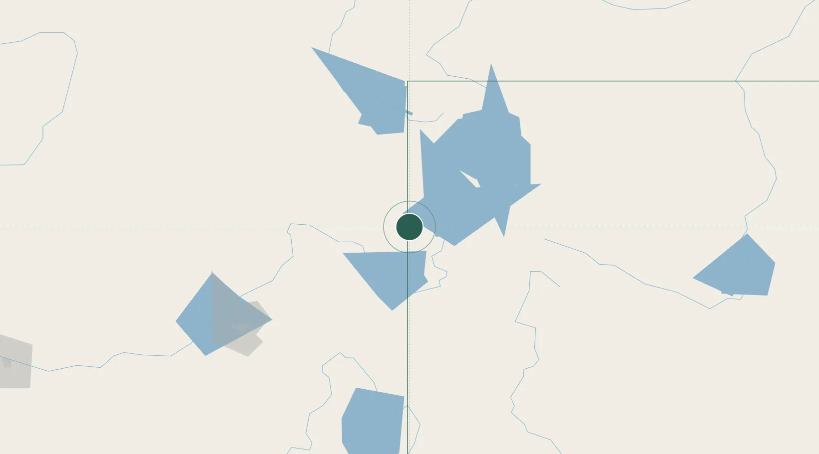
Hub Profile
Place type
Populated place
Region
Wyoming
Population
394
Time zone
America/Denver
Elevation
1,963 m
Location
Nearby Logistics Neighbours
Cities
- 1Saint Anthony55 km
- 2Sugar City58 km
- 3Rigby73 km
- 4Hamer95 km
- 5Shelley97 km
Ports
- 1The Dalles828 km
- 2Sacramento1046 km
- 3Courtland1068 km
- 4Walnut Grove1071 km
- 5Stockton1076 km
Airports
- 1Jackson Hole Airport29 km
- 2Idaho Falls Regional Airport88 km
- 3Yellowstone Airport105 km
- 4Ralph Wenz Field145 km
- 5Miley Memorial Field150 km
Trade Zones
- 1FTZ No. 275 Lansing278 km
- 2FTZ No. 274 Butte-Silver Bow282 km
- 3FTZ No. 030 Salt Lake City340 km
- 4FTZ No. 088 Great Falls419 km
- 5FTZ No. 280 Ada and Canyon Counties486 km
DatabookThe Record of Consolidated Knowledge
United States beyond logistics?