UN/LOCODE hub · United States
USHJD
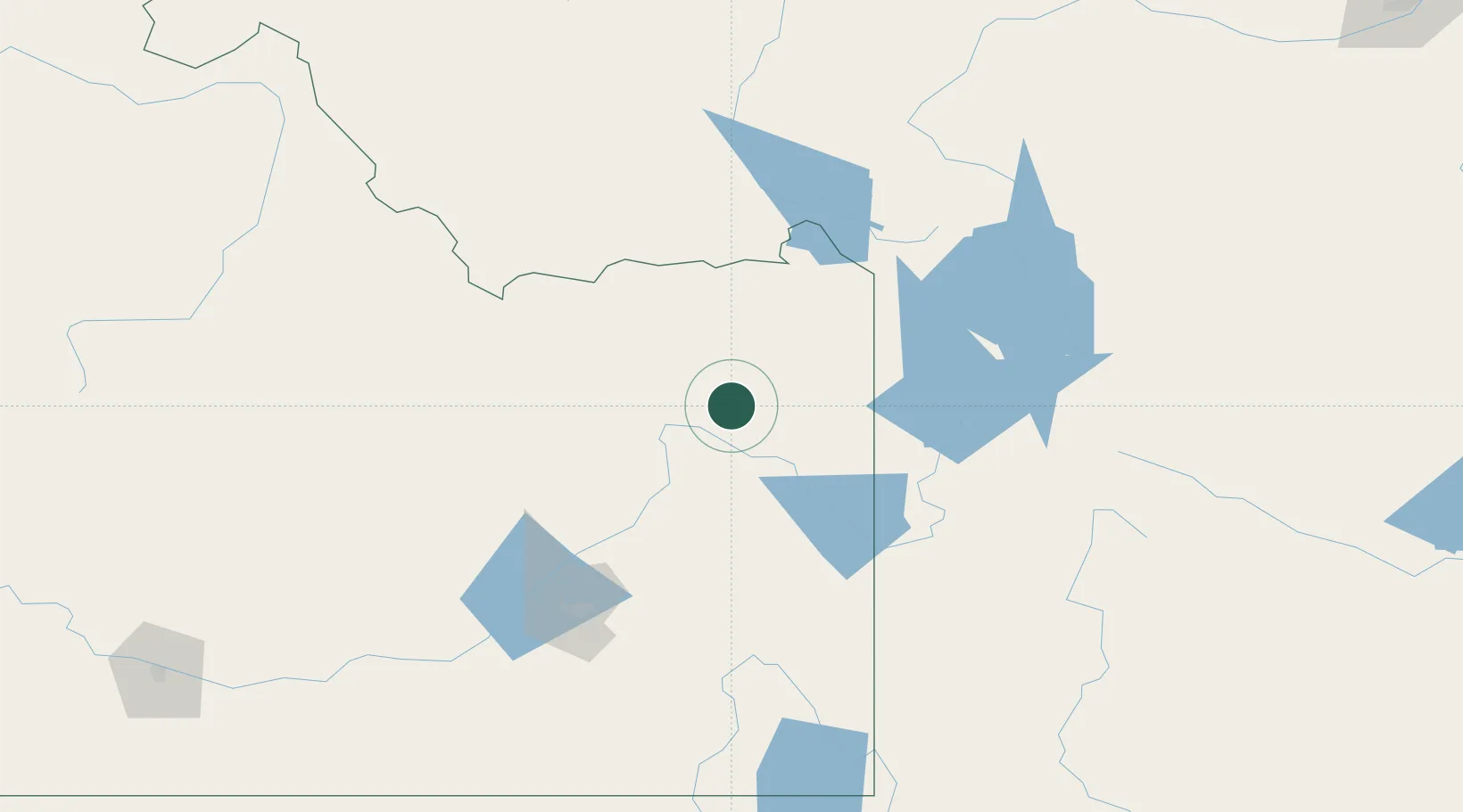
Sugar City
43.8667°, -111.7333°
1,328
Population
2
Transport functions
Transport Functions
Port
Road
Hub Profile
Place type
Populated place
Region
Idaho
Population
1,328
Time zone
America/Boise
Elevation
1,492 m
Location
Nearby Logistics Neighbours
Cities
- 1Saint Anthony11 km
- 2Rigby26 km
- 3Hamer38 km
- 4Camas41 km
- 5Alta58 km
Ports
- 1The Dalles770 km
- 2Sacramento1005 km
- 3Courtland1027 km
- 4Walnut Grove1031 km
- 5Stockton1038 km
Airports
- 1Idaho Falls Regional Airport48 km
- 2Jackson Hole Airport85 km
- 3Yellowstone Airport104 km
- 4Pocatello Regional Airport127 km
- 5Miley Memorial Field194 km
Trade Zones
- 1FTZ No. 274 Butte-Silver Bow245 km
- 2FTZ No. 275 Lansing247 km
- 3FTZ No. 030 Salt Lake City344 km
- 4FTZ No. 088 Great Falls405 km
- 5FTZ No. 280 Ada and Canyon Counties431 km
DatabookThe Record of Consolidated Knowledge
United States beyond logistics?