Transport Functions
Rail
Road
Hub Profile
Place type
Provincial seat
Region
Idaho
Population
4,029
Time zone
America/Boise
Elevation
1,480 m
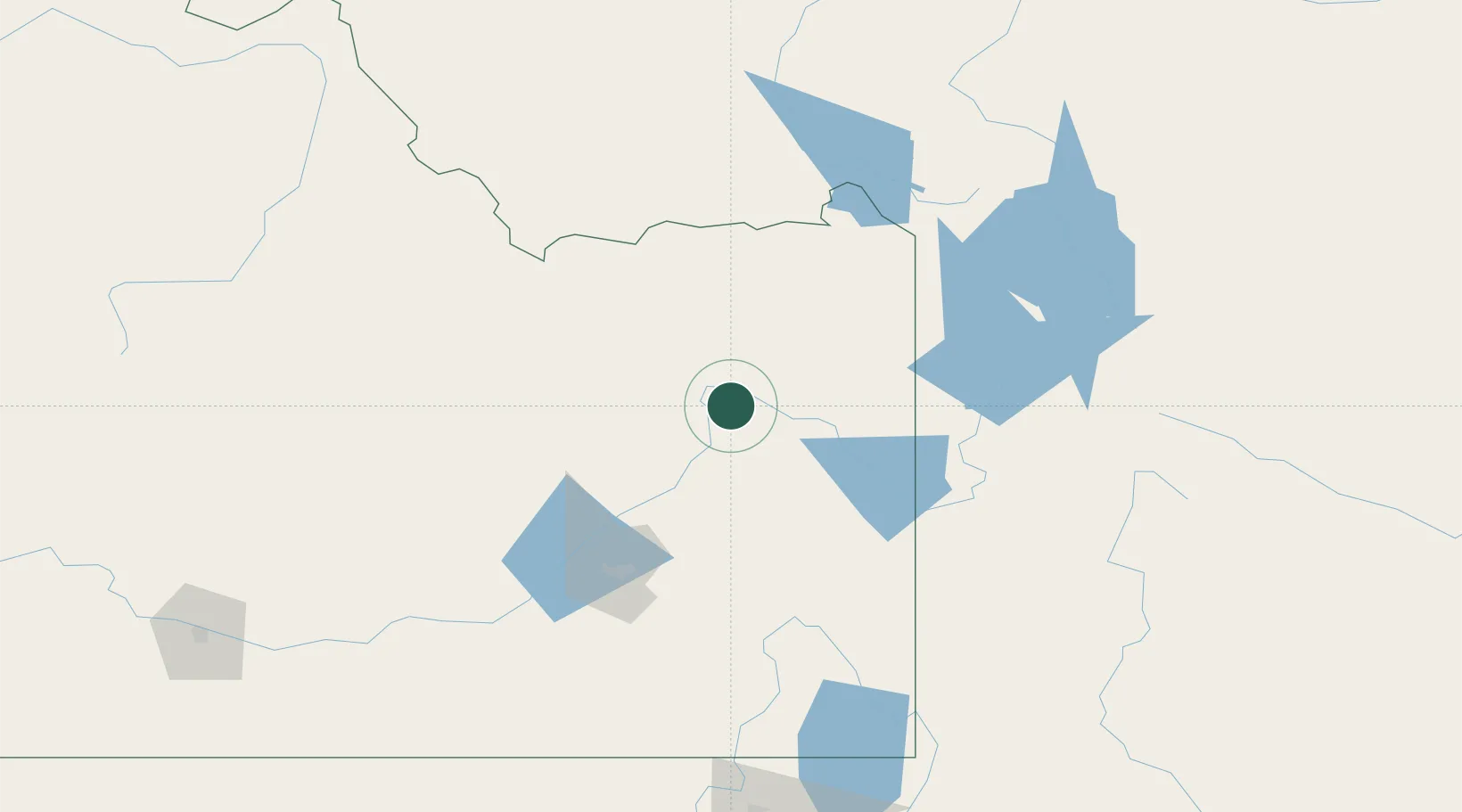
Location
Nearby Logistics Neighbours
Cities
- 1Sugar City26 km
- 2Hamer34 km
- 3Saint Anthony37 km
- 4Shelley38 km
- 5Camas42 km
Ports
- 1The Dalles762 km
- 2Sacramento981 km
- 3Courtland1003 km
- 4Walnut Grove1006 km
- 5Stockton1013 km
Airports
- 1Idaho Falls Regional Airport22 km
- 2Jackson Hole Airport97 km
- 3Pocatello Regional Airport101 km
- 4Yellowstone Airport129 km
- 5Miley Memorial Field192 km
Trade Zones
- 1FTZ No. 274 Butte-Silver Bow259 km
- 2FTZ No. 275 Lansing263 km
- 3FTZ No. 030 Salt Lake City323 km
- 4FTZ No. 280 Ada and Canyon Counties414 km
- 5FTZ No. 088 Great Falls427 km
DatabookThe Record of Consolidated Knowledge
United States beyond logistics?