Transport Functions
Port
Rail
Road
Multimodal
Hub Profile
Place type
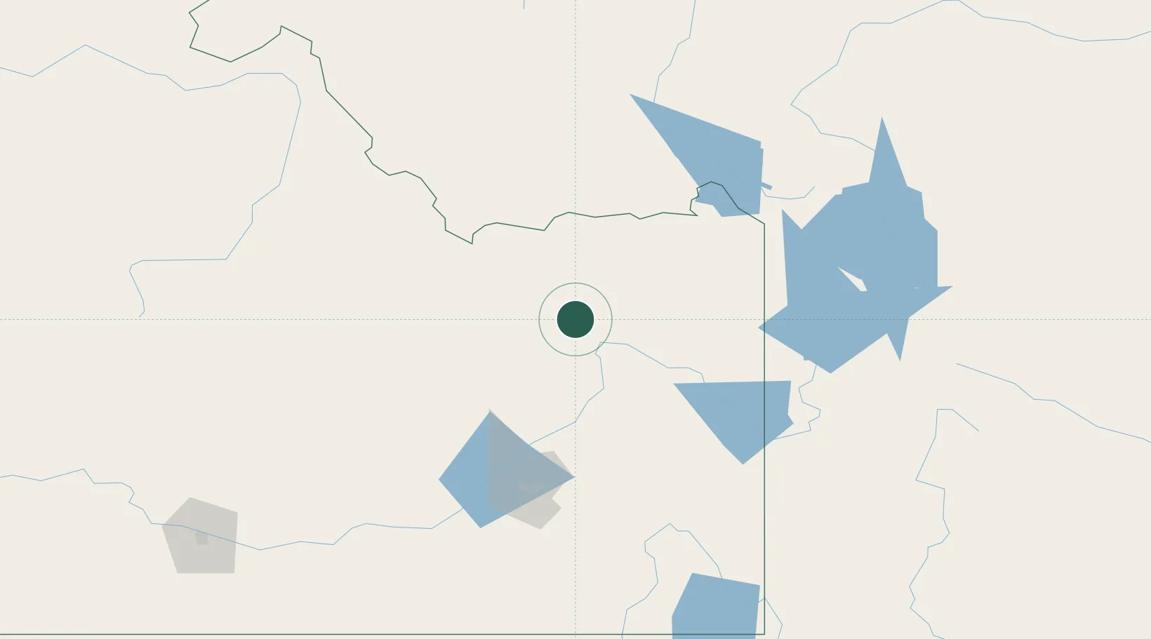
Populated place
Region
Idaho
Population
51
Time zone
America/Boise
Elevation
1,464 m
Location
Nearby Logistics Neighbours
Cities
- 1Camas9 km
- 2Rigby34 km
- 3Sugar City38 km
- 4Saint Anthony43 km
- 5Shelley62 km
Ports
- 1The Dalles733 km
- 2Sacramento977 km
- 3Courtland999 km
- 4Walnut Grove1004 km
- 5Stockton1011 km
Airports
- 1Idaho Falls Regional Airport46 km
- 2Pocatello Regional Airport116 km
- 3Yellowstone Airport122 km
- 4Jackson Hole Airport122 km
- 5Friedman Memorial Airport175 km
Trade Zones
- 1FTZ No. 274 Butte-Silver Bow228 km
- 2FTZ No. 275 Lansing234 km
- 3FTZ No. 030 Salt Lake City350 km
- 4FTZ No. 280 Ada and Canyon Counties394 km
- 5FTZ No. 088 Great Falls403 km
DatabookThe Record of Consolidated Knowledge
United States beyond logistics?