UN/LOCODE hub · United States
USRY3
Rockwell City
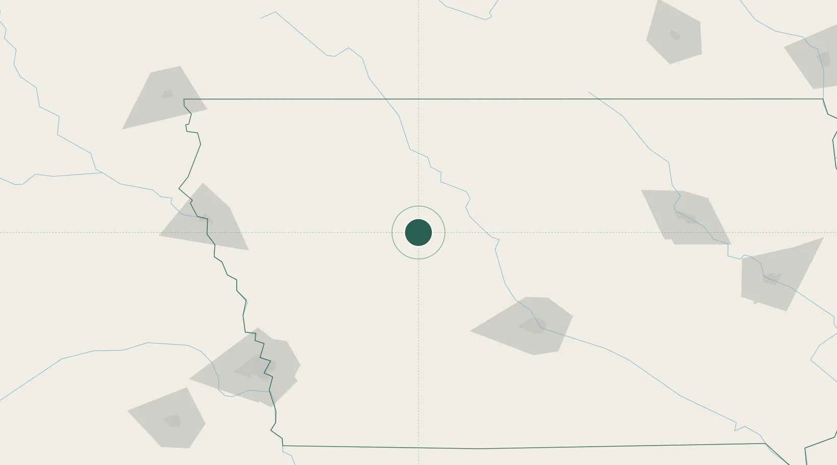
42.3833°, -94.6333°
2,141
Population
1
Transport functions
Transport Functions
Multimodal
Hub Profile
Place type
Provincial seat
Region
Iowa
Population
2,141
Time zone
America/Chicago
Elevation
375 m
Location
Nearby Logistics Neighbours
Cities
- 1Ralston37 km
- 2Wall Lake41 km
- 3Gilmore City41 km
- 4Paton41 km
- 5Scranton42 km
Airports
Trade Zones
- 1FTZ No. 107 Polk County110 km
- 2FTZ No. 288 Northwest Iowa146 km
- 3FTZ No. 220 Sioux Falls219 km
- 4FTZ No. 175 Cedar Rapids238 km
- 5FTZ No. 059 Lincoln254 km
DatabookThe Record of Consolidated Knowledge
United States beyond logistics?