UN/LOCODE hub · United States
USS3P
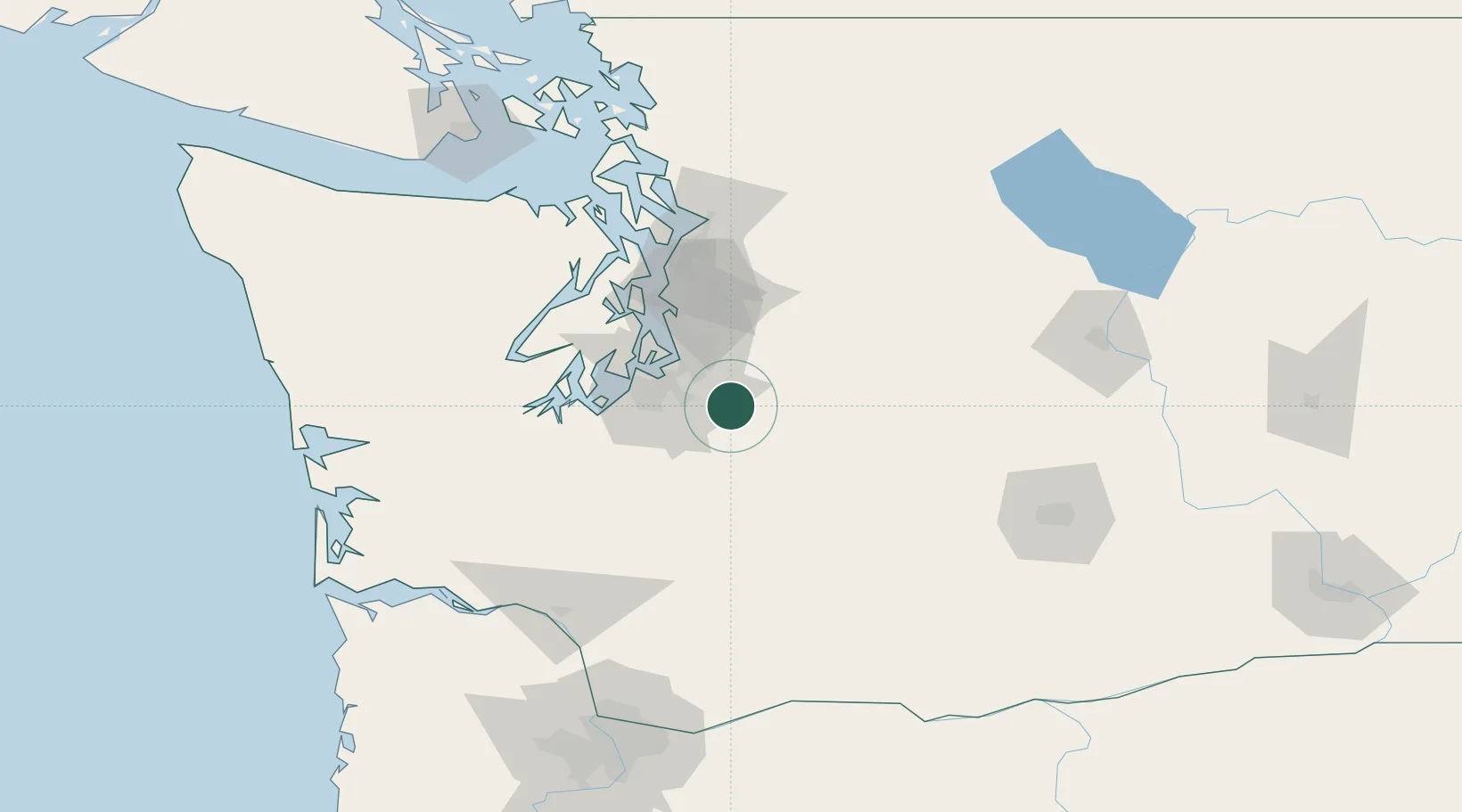
South Prairie
47.1333°, -122.0833°
429
Population
2
Transport functions
Transport Functions
Rail
Road
Hub Profile
Place type
Populated place
Region
Washington
Population
429
Time zone
America/Los_Angeles
Elevation
131 m
Location
Nearby Logistics Neighbours
Cities
- 1Bonney Lake8 km
- 2Enumclaw12 km
- 3Fife24 km
- 4Tacoma28 km
- 5McChord Air Force Base32 km
Ports
- 1Tacoma30 km
- 2Seattle55 km
- 3Port Orchard61 km
- 4Olympia63 km
- 5Bremerton64 km
Airports
Trade Zones
- 1FTZ No. 086 Tacoma29 km
- 2FTZ No. 212 Tacoma36 km
- 3FTZ No. 005 Seattle61 km
- 4FTZ No. 216 Olympia65 km
- 5FTZ No. 085 Everett97 km
DatabookThe Record of Consolidated Knowledge
United States beyond logistics?